News
01/07/2022, 2:22 pm EST

Super Heat Followed by Rains in Argentina!

An amplifying high-pressure ridge over Argentina is likely to span extreme heat beginning early next week and intensifying throughout the week. High temperatures are routinely in the 100’s early next week across Argentina. However, searing record-breaking 110’s is projected for middle of next week. The extreme heat lasts to Monday, January 17th shifting to northern Argentina.
01/04/2022, 1:35 pm EST

CIC Learning Points: Arctic Air is Difficult to Remove and Why Does East Encounter Persistent Coastal Flooding?

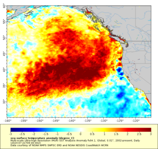
Arctic cold is established over Western Canada into the Northern U.S. and snow cover is expanding. Recent model runs have removed this arctic air by the middle third of January. But arctic air is very difficult to dissipate. Warm SSTA off the U.S. East Coast leads to sea level rise which causes any onshore flow to quickly push a flooding risk.
01/02/2022, 8:36 am EST

Expanding drought concerns in U.S. heading toward Q2/2022!

A conservative U.S. drought forecast is most-focused on West-central to Mid-south U.S. drought expansion/strengthening while also strengthening drought from the Carolinas to Florida. The “caveat” (and more extreme scenario) forecast projects a wider drought stretching across the southern half of the U.S. and possibly into the Western U.S. Corn Belt.
12/30/2021, 3:58 pm EST

ECMWF Snowfall Forecasts in the East Through 10 Days

Inevitable is the evolution of a snowy pattern Central to Northeast U.S. given the large cold air source region in Western Canada to the North-central U.S. The clash of that cold with milder temperatures in the East means snow or rain-to-snow events from Kansas to New England in the 10-day outlook.