
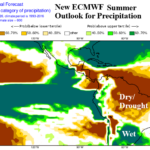
ECMWF El Nino-Driven Precipitation Impacts Caused by Super El Nino for DEC/JAN/FEB 2026-27
09/11/2026, 5:02 am EDT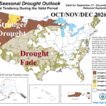
New NOAA Long-lead Forecasts Wipe-out Much of U.S. Drought East of Divide
09/17/2026, 1:52 pm EDT
Climate Impact Company North Atlantic Basin 10-Day Monitor
Issued: Wednesday September 16, 2026
Highlight: Overnight GFS and ECM indicate a potential 11-15-day Gulf of America/Florida/Southeast U.S. Coast pronlem.
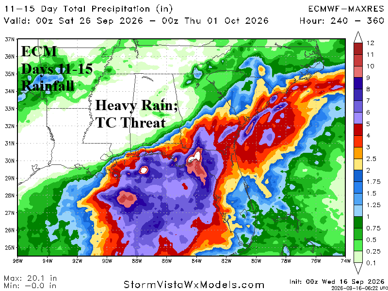
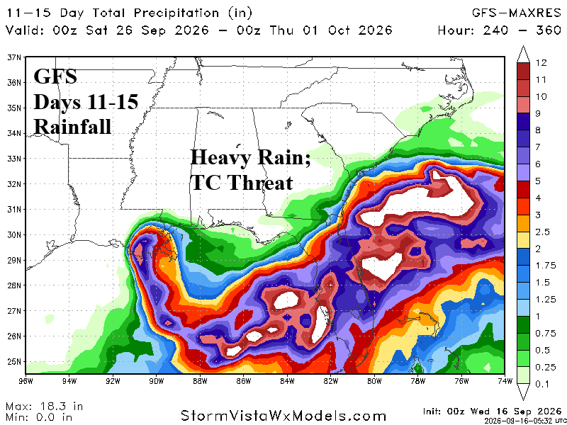
Fig. 1-2: GFS and ECM OP project potential for significant rain in the Gulf of America/Southeast U.S. Coast in the 11-15-day period.
Discussion: Overnight, both the GFS and ECM operational models project heavy rain associated with a tropical cyclone during the 11-15-day period in the Gulf of America and the Southeast U.S. Coast plus Florida (Fig. 1-2). The 11-15-day forecast indicates potential for a high impact event gaining substantial confidence if the same projection is in the 6-10-day forecast late this weekend. GFS develops a system in the Northwest Caribbean Sea late next week and projects a stalling hurricane in the eastern Gulf of America during the last 5 days of the month. ECM develops a system in the Northeast Gulf during the 11-15-day period. Other models indicate the risk is farther east. The subtropical North Atlantic basin, including the Gulf of Mexico, is somewhat warmer than normal with a much more supportive environment for possible tropical cyclone activity compared to the deep tropics for later September. Currently, the North Atlantic basin remains amazingly ALL CLEAR due to upper westerly shear (Fig. 3).
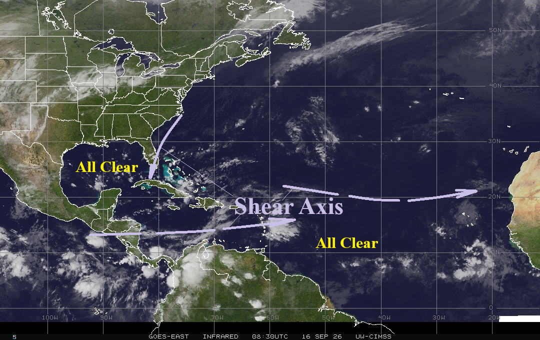
Fig. 3: Latest North Atlantic basin weather satellite view.