
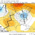
Marine Heatwave NEP25A Shaping The U.S. Upper Air Pattern
08/23/2026, 6:43 am EDT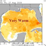
Inactive Tropics Allowing Ocean Surface to Warm
08/28/2026, 9:22 am EDT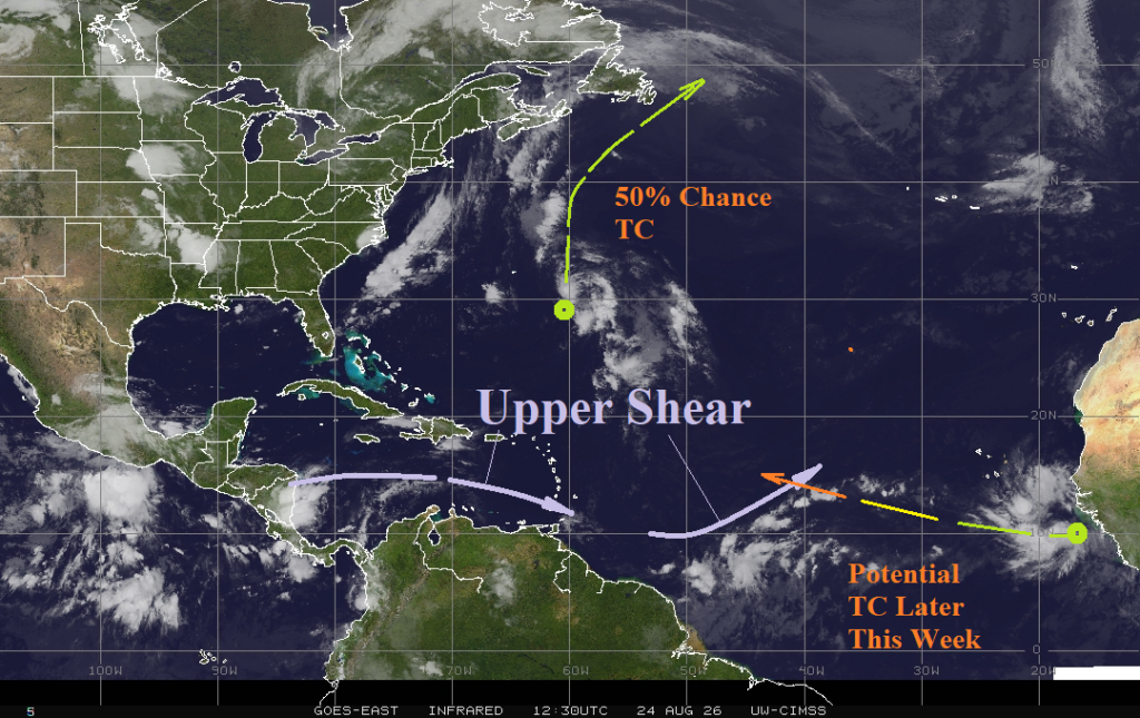

Climate Impact Company North Atlantic Basin 10-Day Monitor
Issued: Monday August 24, 2026
Highlight: Disturbance forming off West Africa Coast could become a named tropical storm later this week.
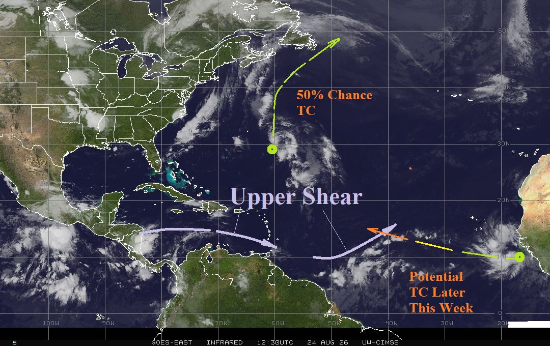
Fig. 1: North Atlantic basin weather satellite view.
Discussion: Two systems are monitored in the North Atlantic tropics this morning. A tropical disturbance east of Bermuda is drifting north with a 50% chance of becoming a tropical cyclone, according to NOAA/NHC, this week (Fig. 1). This system stays out to sea eventually turning northeastward just missing Newfoundland late this week. A tropical disturbance is expected to form off the West Coast of Africa and track west-northwestward this week possibly becoming a tropical cyclone in 4-5 days. The extended range outlook indicates this system, if a tropical cyclone forms, will turn north and stay out to sea.