
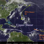
ALERT for Eastern North Atlantic Tropics Tropical Cyclone Later This Week
08/24/2026, 11:53 am EDT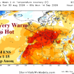
Regenerating Heat/Dryness across Southern Half of Europe Ahead
08/30/2026, 1:16 pm EDT
Climate Impact Company North Atlantic Basin 10-Day Monitor
Issued: Friday August 28, 2026
Highlight: Inactive tropics allowing ocean surface to warm. T.S. Dolly weakens with westward travel.
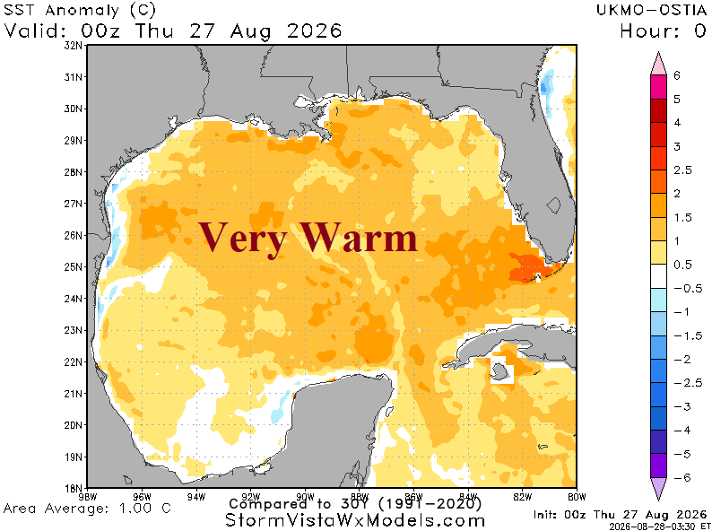
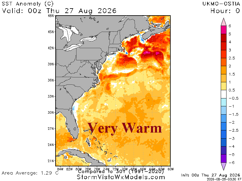
Fig. 1-2: The Gulf of America and western North Atlantic basin is averaging 1.0C (or warmer) above normal as September 1st approaches.
Discussion: The subtropical North Atlantic basin is warming significantly as September 1st approaches (Fig. 1-2) partly due to lack of tropical cyclones tracking through these waters to up-well cooler water. The Gulf of America is near 1.0C warmer than normal while the western North Atlantic basin is 1.25C warmer than normal. Actual surface temperatures are in the 86-87F/30-31C range sufficient for explosive intensification for any tropical cyclones passing over the very warm waters.
Tropical Storm Dolly is already encountering subsidence/dry air causing attendant convection to constrict (Fig. 3). This system weakens with westward travel possibly dissipating before reaching Puerto Rico early next week.
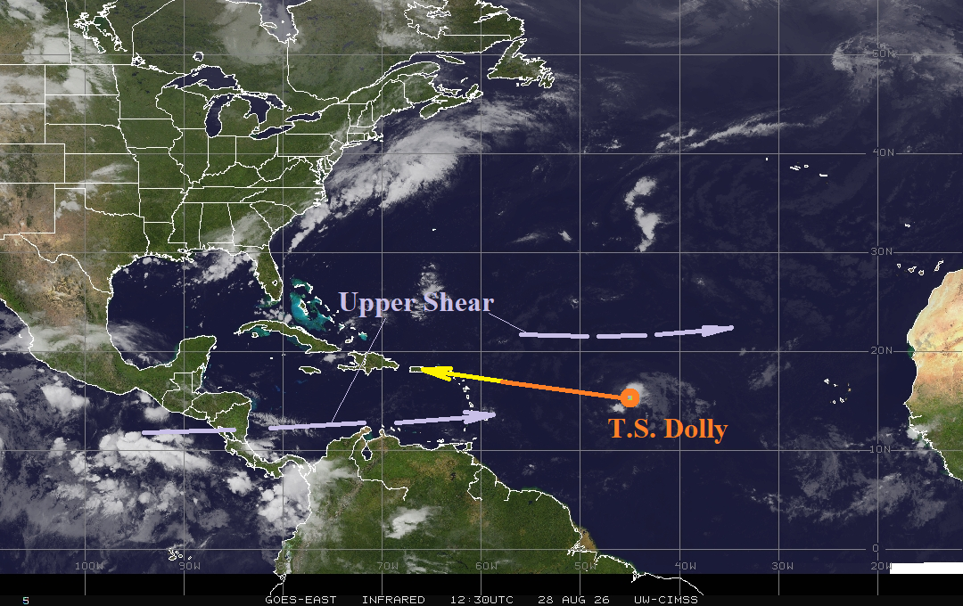
Fig. 3: North Atlantic basin weather satellite view.