
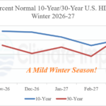
Glance at U.S. Population Weight HDD Forecasts for NOV-26 to MAR-27
09/15/2026, 9:19 am EDT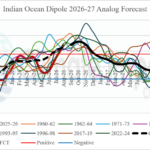
Strong +IOD Emerging; Lasts into Early 2027
09/21/2026, 3:43 am EDT
Climate Impact Company Madden Julian Oscillation Outlook
Issued: Thursday, September 17, 2026
Highlight: Support for North Atlantic basin tropical cyclones increases later September.
Discussion: Since late May, the convection phase of the Madden Julian oscillation (MJO) is locked near the Dateline and eastward through the eastern tropical Pacific Ocean. Represented is phase_5/phase_6/phase_7 of the MJO which is supportive of tropical cyclone activity in the central and eastern Pacific Ocean. So far in 2026, the East Pacific has observed 178.7 accumulated cyclone energy (ACE) index which is 184% of normal. Famously, MJO phase_6/phase_7 is highly supportive of tropical cyclone activity in the tropics near and east of the Dateline.
This year, the MJO intensity is made stronger by the presence of warming SST in the eastern tropical Pacific associated with strong-to-super El Nino. The MJO signature in the eastern tropical Pacific of the past 3-4 months is one of the most consistent and intense on record.
To compensate for the strong vertical motion in the deep tropics from the Dateline eastward in the Pacific basin, subsidence is impressive across the equatorial Indian Ocean westward through tropical Africa. The influence of subsidence across this stretch is prevention of significant tropical waves to shift westward into the eastern North Atlantic tropics to develop and become tropical cyclones. MJO phase_6/phase_7 suppresses North Atlantic basin tropical cyclone activity. The ACE index in the North Atlantic basin so far in 2026 is 4.4 or about 6% of normal.
The MJO outlook indicates a potential eastward shift during the last third of September reaching phase_1 or possibly phase_2 by late month. If MJO shifts east and reaches phase_2, support for North Atlantic tropical cyclone activity increases significantly. Consistently, the GFS has indicated a potential significant tropical cyclone in the Gulf of America later this month while ECM generally favors increased tropical cyclone risk although less aggressively than GFS. AI models such as Graph Cast indicate increased heavy rain risk off the West Africa Coast and Western Caribbean Sea to the Bahamas later this month.
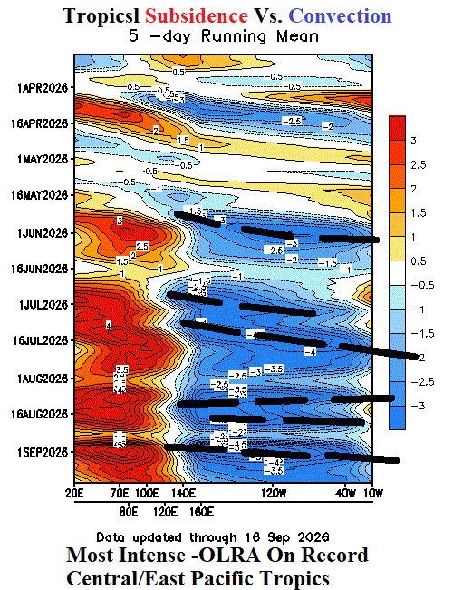
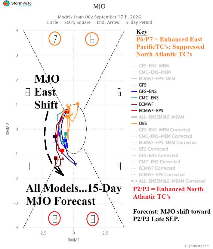
Fig. 1-2: The outgoing longwave radiation anomalies in the tropics since April and the 15-day Madden Julian oscillation forecast.
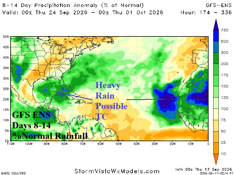
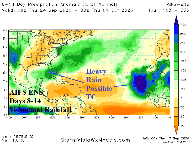
Fig. 3-4: GFS ENS and AIFS ENS indicate support for tropical cyclone activity in the North Atlantic basin during the 8-14-day period.