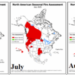
NOAA JUN, JUL, and AUG 2025 North America fire outlooks.
06/16/2025, 5:54 am EDT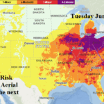
The Hottest Day of the Next 7 Days for the Midwest to Mid-Atlantic States is Next Tuesday
06/19/2025, 6:36 am EDT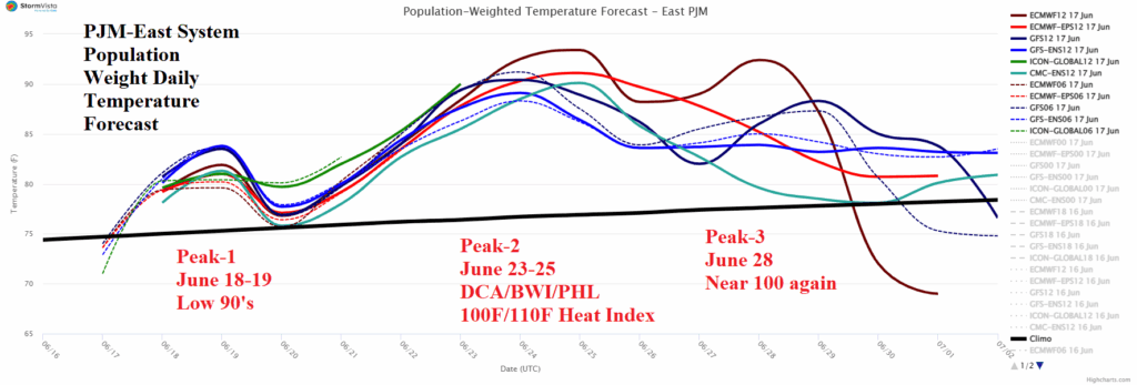

Climate Impact Company U.S. Daily Report
Highlight: PJM peak demand days; ERCOT misses the heat.
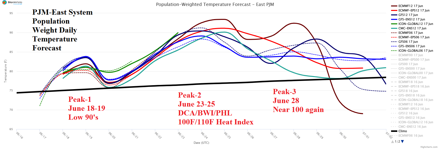
Fig. 1: The PJM-East System 15-day population weight temperature forecast.
Discussion: Incoming excessive heat event for PJM misses ERCOT. In the PJM-East sector the primary peak is June 23-25 (Fig. 1). During this time, forecast models agree on near the 100F risk for the DCA/BWI/PHL stretch and NYC/BDL/BOS will be close. Making this heatwave unique is the extreme humidity and therefore heat index. Heat indices routinely flirt with 110F in this type of heat. Additionally, high dew points (well into the 70’s) indicate night-time lows may stay near 80F. The lack of cooling at night impairs recovery. The lack of recovery at night given several (or more) extremely hot days increases electricity load each day of the heatwave. This scenario is possible at any time during the past 7-8 days of June for PJM-East.
PJM-West peak heat is June 21-25 (Fig. 2). During that time, Chicago races to 97-98F with heat index about 10F higher. Thunderstorms chop down the heat gradually after the 25th.
The hot weather is centered on the Interior East/East U.S. and stays north of ERCOT. Although ERCOT is hotter than normal, the hot bias is across the northern part of the region while incoming clouds and thundershowers suppress excessive heat risk on the coast and across the southern part of Texas.
The SPP peak is on June 21st while SERC shifts hotter for June 21-27.
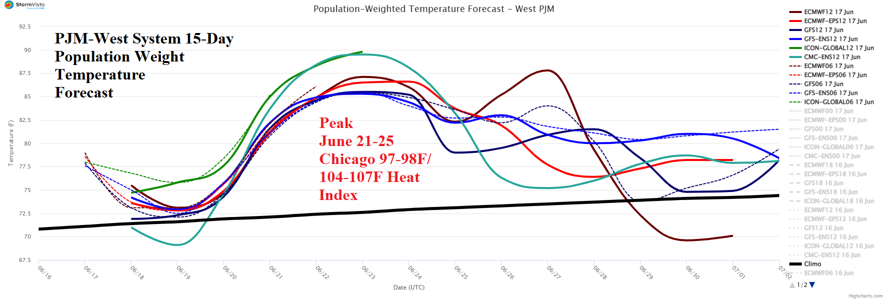
Fig. 2: The PJM-West System 15-day population weight temperature forecast.

Fig. 3: The ERCOT System 15-day population weight temperature forecast.