
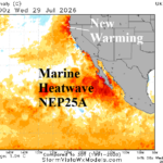
NEP25A The Catalyst to Western U.S. Heat and Drought
07/30/2026, 6:53 am EDT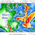
U.S. Pattern Features Both Excessive Heat and Heavy Rainfall
08/03/2026, 5:59 am EDT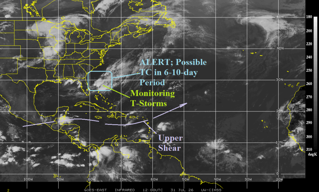

Climate Impact Company North Atlantic Basin 10-Day Monitor
Issued: Friday July 31, 2026
Highlight: Watching waters near the Bahamas in the 6-10-day period for possible development.
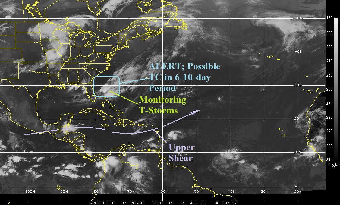
Fig. 1: North Atlantic basin weather satellite view.
Discussion: An area of thunderstorm activity across warmer than normal water rests northeast of the Bahamas. Development is not expected through early next week. However, a tropical wave is forecast to move into the waters east of the Bahamas and northwestward from there during the 6-10-day period possibly becoming a tropical cyclone according to AIFS and GFS forecasts. Other models do not indicate the tropical cyclone risk.