
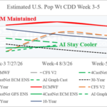
Week 3-5 Cooling Degree Projections Continue Hot ECM, Much Cooler AI
07/07/2026, 9:25 am EDT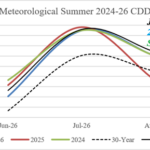
Latest U.S. CDD Assessment for Summer 2026
07/13/2026, 5:14 am EDT
Climate Impact Company North Atlantic Basin 10-Day Monitor
Issued: Thursday July 9, 2026
Highlight: Stays ALL CLEAR.
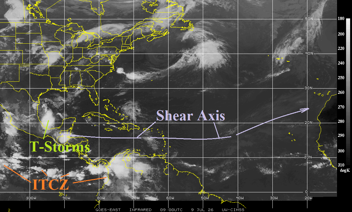
Fig. 1: North Atlantic basin weather satellite view.
Discussion: Shear axis stretches across the deep tropics suppressing tropical cyclone development through the next 10 days. Thunderstorm activity in parts of Coastal Mexico is disorganized. The ITCZ is active in the tropical East Pacific and dormant in the North Atlantic tropics.
The North Atlantic basin has warmed 0.34C during the past 30 days to +0.70C, a (fairly) warm signature (Fig. 2). However, the main development region is almost exactly normal and has cooled slightly in July so far. The Caribbean Sea warmed to +0.53C although all of the surface warming in in the northwest basin. The Gulf of Mexico is warming rapidly reaching +1.10C. The western North Atlantic basin has (also) warmed to +1.10C.
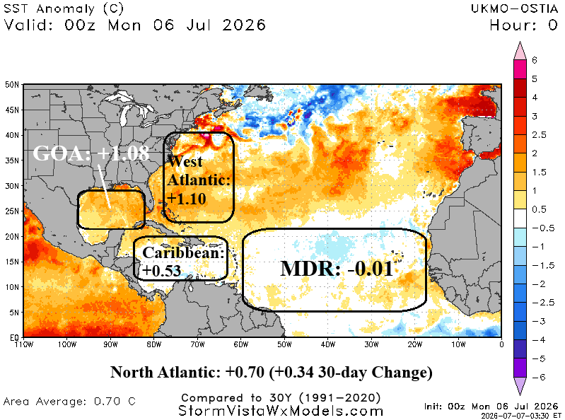
Fig. 2: North Atlantic basin SSTA regimes.