
Late Week Northeast Corridor Coastal Storm!
09/20/2026, 7:42 pm EDT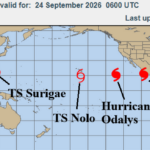
Tropical Cyclones May Influence the Weather Pattern!
09/24/2026, 5:56 am EDT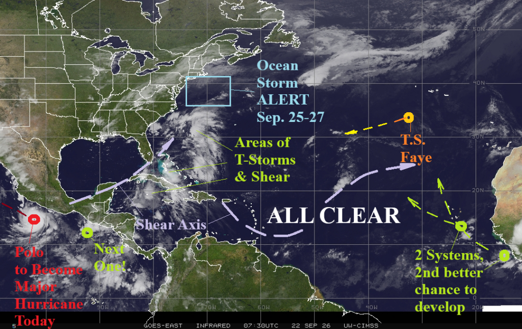

Climate Impact Company North Atlantic Basin 10-Day Monitor
Issued: Tuesday September 22, 2026
Highlight: ALERT for ocean storm off Northeast Coast late this week; ALERT for enhanced Southwest U.S. (including Texas) monsoon due to influence of tropical systems.
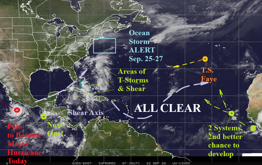
Fig. 1: North Atlantic basin morning weather satellite view.
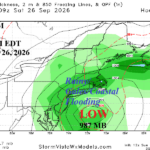
Discussion: The North Atlantic basin remains quiet as (calendar) autumn begins. Upper shear streaks prevent organization of thunderstorm activity in the Bahamas and keep the central North Atlantic ALL CLEAR (Fig. 1). Two tropical waves in the outer North Atlantic may organize while turning north, the second just entering the North Atlantic basin this morning, has the best chance. Tropical Storm Faye is barely discernable and weakens drifting west-to-southwestward. An ALERT is issued for an ocean storm forming south-southeast of New England Friday. GFS deepens this feature to a 996 MB low pressure Saturday to the southeast of Nantucket while ECM is farther west with a potent 985 MB low pressure. High wind, heavy rain, and significant coastal flooding for southeast New England is implied for the weekend, a condition that could extend westward to the northern Mid-Atlantic States.
As for the 10-day outlook, GFS and ECM doubt significant tropical cyclone risk in the western half of the North Atlantic despite a slightly favorable convection phase of the Madden Julian oscillation (MJO). The slight east shift of MJO to the tropical longitude of the Americas enables Hurricane Polo and another to soon follow. Polo is forecast to reach 175 mph wind, a category-5 major hurricane, later today. In the 6-10-day forecast, Polo may turn northeastward and travel inland across Baja California to the Southwest U.S. (Fig. 2). An ALERT is issued for the Southwest U.S. and possibly Texas for an enhanced wet monsoonal condition due to the entrainment of the remains of Polo in the extended range (Fig. 3). Another system following Polo is expected and also enhances the wet monsoon in the extended range.
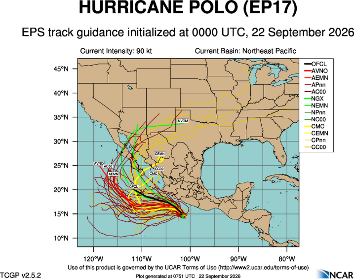
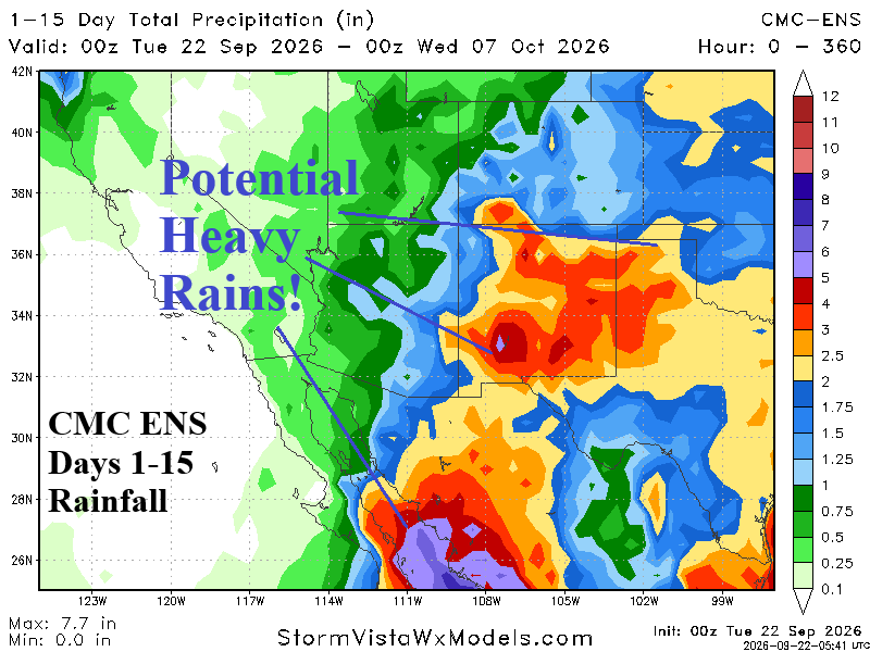
Fig. 2-3: 10-day ECM ENS potential tracks for Major Hurricane Polo and the CMC ENS 15-day rainfall forecast for the Southwest U.S.