
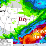
Heavy Rain Pattern Southeast U.S./Gulf States
10/02/2026, 9:08 am EDT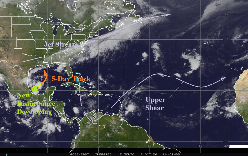

Climate Impact Company North Atlantic Basin 10-Day Monitor
Issued: Monday October 5, 2026
Highlight: Tropical cyclone likely in the Gulf of America mid-to-late week. Weakens due to upper shear approaching Louisiana Coast early next week.
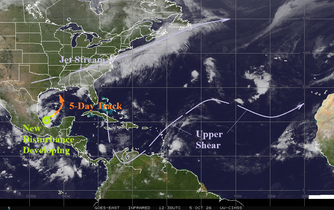
Fig. 1: North Atlantic basin weather satellite view.
Discussion: A new tropical disturbance is forming in the Bay of Campeche. NOAA/NHC indicates 30% chance of tropical cyclone formation within the next 48 hours but has increased risk to 70% after 2 days. Operational models develop this system in the west-central Gulf of America to a full-blown tropical storm. However, the shear axis to the north is immense and may prevent hurricane development and weaken the system as approach to land occurs later next weekend. Elsewhere, tropical cyclone formation is not expected.