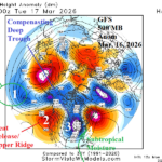
How Hawaiian “Kona Storm” Shaped March 15-16 Severe Weather
03/17/2026, 7:58 am EDT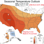
Impressive West U.S. heat/Dryness Until Wet Monsoon Arrives…Latest NOAA Long-lead Outlooks
03/19/2026, 9:19 am EDT![]()
Climate Impact Company Midday Update
Issued: Wednesday March 18, 2026
Highlight: 12Z GFS piles West U.S. ridge poleward forcing polar vortex into Northeast U.S. days 11-15. Overdone, but right idea.
Issued later this afternoon: U.S. regional population weight CDD forecasts.
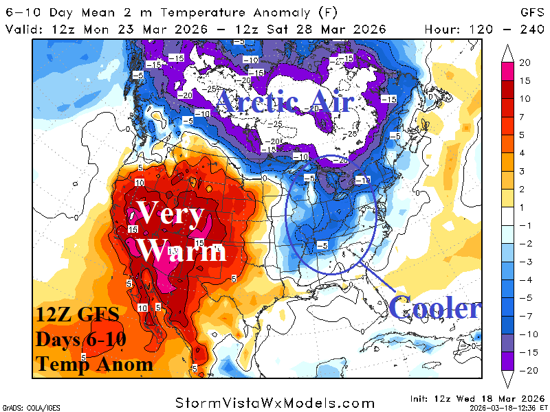
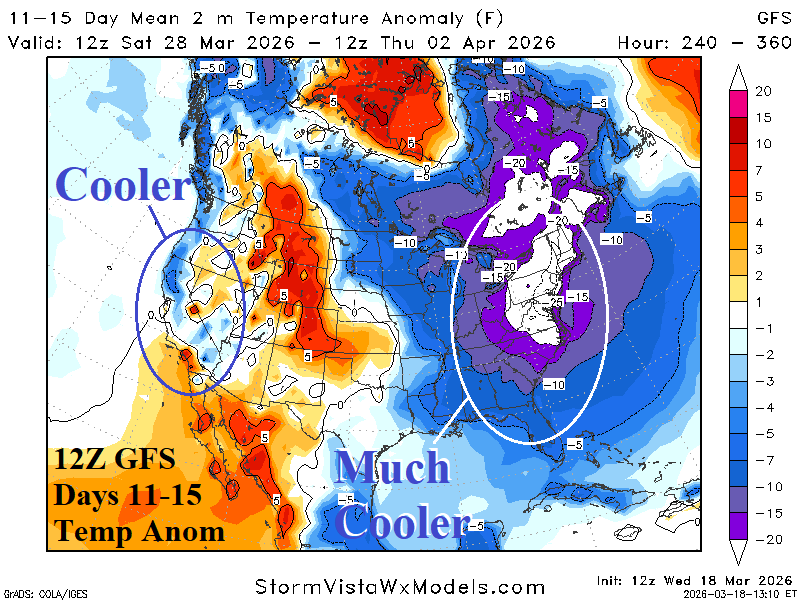
Fig. 1-2: The 12Z GFS U.S. medium-range temperature anomaly forecast.
Discussion: Thematic of the 12Z GFS is maintain warmth in the West days 6-10 (Fig. 1) beneath a titanic upper-level high pressure ridge which extends north and northeastward in the 11-15-day period (Fig. 2) causing the Canadian polar vortex to dive southeastward toward the Northeast U.S. The 12Z GFS is loaded with arctic sir and the shifting polar vortex forces the big chill into the Northeast Corridor in the 11-15-day period. The colder solution has marginal support and the amplitude of the cold in the East is much too strong. Traders should watch the 12Z ECM 11-15-day forecast carefully. The outlook was exceptionally warm overnight. Is there a much colder shift at 12Z to validate the GFS?
| EIA End | Forecast | 12-Hour Change | 24-Hour Change | 30-Year Normal | 10-Year Normal |
| 3/19 | 136.9 | -0.2 | -0.8 | 141.2 | 129.9 |
| 3/26 | 94.0 | -2.6 | -1.6 | 127.2 | 118.2 |
| 4/2 | 168.2 | +37.4 | +52.7 | 113.0 | 106.5 |
Table 1: The midday 12Z GFS U.S. gas population weight HDD projections into early April.