
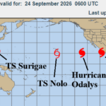
Tropical Cyclones May Influence the Weather Pattern!
09/24/2026, 5:56 am EDT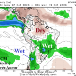
Wetter Argentina/Southeast Brazil; Cooler Argentina Ahead
09/29/2026, 9:36 am EDT
Climate Impact Company Midday Update
Issued: Friday September 25, 2026
Highlight: Support for much cooler GFS days 11-15 at midday not available. Weekend stormy impacts increasing for Mid-Atlantic Coast.
Discussion: Largest change during the medium range is in the 11-15-day period which crashes much cooler in the East while the West is moderately warmer. Similar but less extreme changes are noted in the 6-10-day period. The outlook is wet with streaks of rain from the Southwest to the Great Plains and across the East. Is there support for the much cooler 11-15-day outlook? -AO/-NAO are marginal although +PNA is amplified in the 8-14-day period. Support for warmer West is available.
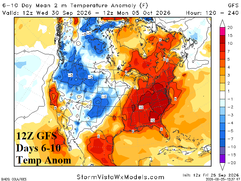
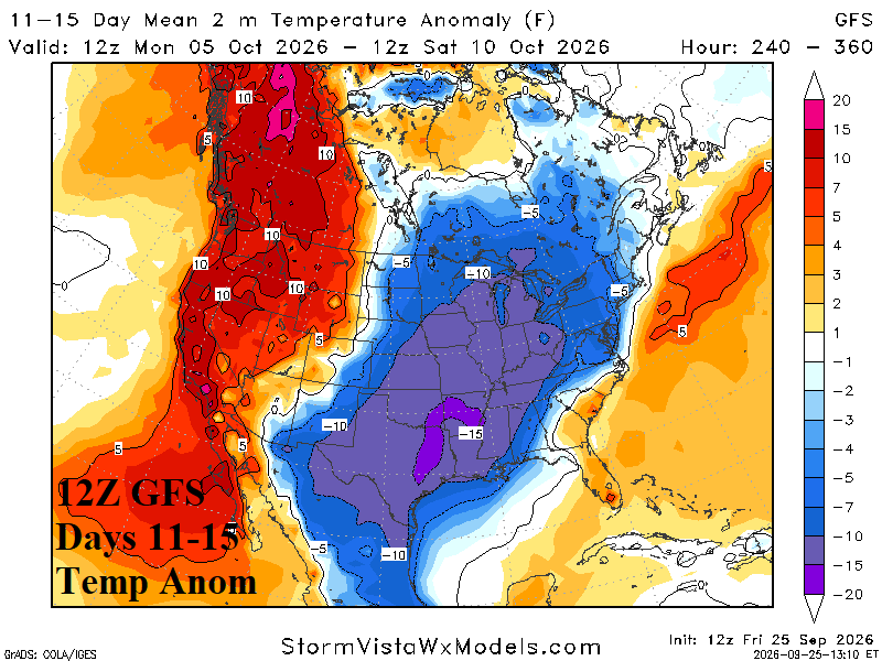
Fig. 1-2: The 12Z GFS U.S. medium range forecast.
The Northeast U.S. weekend storm continues to trend downhill in the Mid-Atlantic States. Highest wind is across Long Island to the New Jersey Coast tonight and stays that way tomorrow. Gusts on the coast should exceed 60 mph in pots with high waves, storm surge, and flooding.
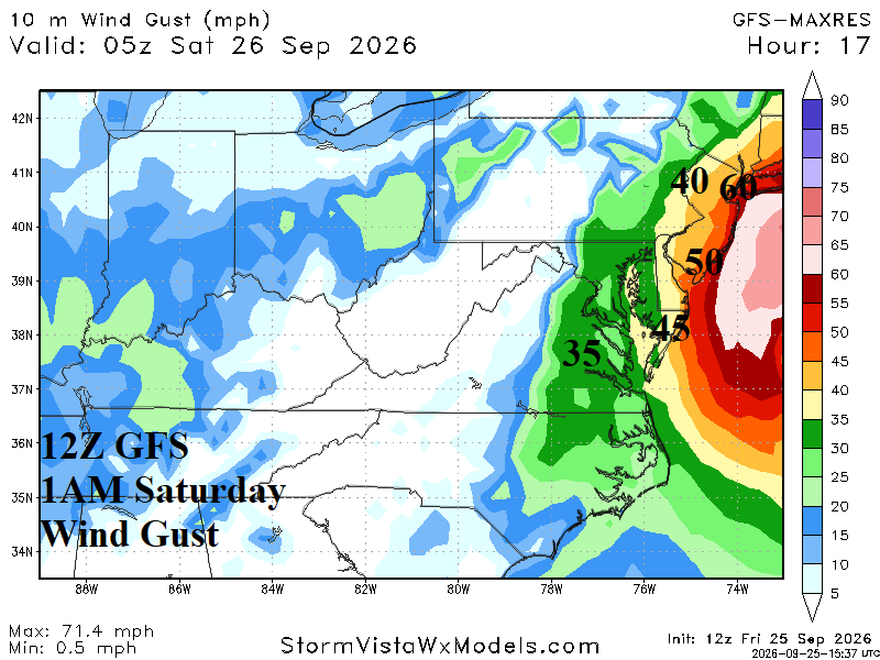
Fig. 3: The 12Z GFS continues to shift to stronger wind on the Mid-Atlantic Coast.
| HDD EIA End | Forecast | 12-Hour Change | 24-Hour Change | 30-Year Normal | 10-Year Normal |
| 10/1 | 17.9 | 0.0 | 0.0 | 29.3 | 38.3 |
| 10/8 | 45.1 | -9.2 | +8.7 | 22.6 | 30.1 |
| 10/15 | 57.7 | +7.1 | +11.2 | 22.6 | 30.1 |
Table 1: The midday 12Z GFS U.S. gas population weight HDD forecast through middle October.