
Climate Impact Company CDD Scorecard
06/01/2025, 9:35 am EDT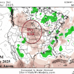
ECMWF “Monthlies” Aggressive with Dry/Hot Climate Central/Northern Great Plains JUL/AUG/SEP
06/05/2025, 9:18 am EDT![]()
Climate Impact Company Daily Feature
Issued: Monday, June 2, 2025
Highlight: Notice to PJM-East/NEPOOL traders…Sell-off of water surface temperature off Northeast Coast could bias climate cooler than models.
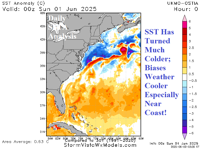
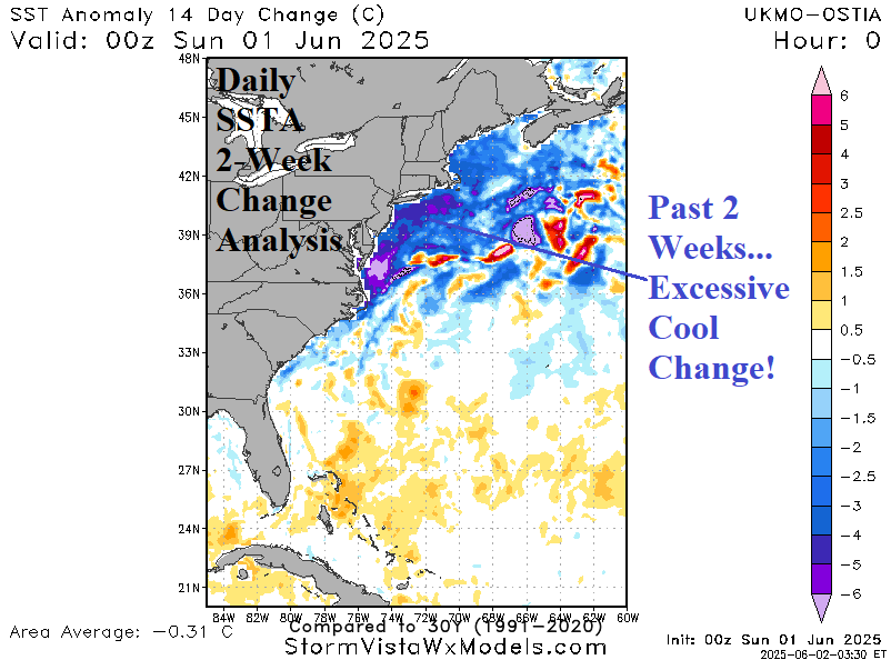
Fig. 1-2: Daily West Atlantic SSTA analysis and 14-day change identifying the super colder change off the Northeast Coast.
Discussion: The ocean surface off the Northeast Corridor Coast has cooled significantly during the past 2 weeks. Much of the cooling is due to a countering (to the Gulf Stream) cold current flowing southwestward from just off Newfoundland. The ocean surface is several to 6C cooler than normal in this cool zone, most vividly indicated off the northern Mid-Atlantic Coast (Fig. 1). The chilly anomaly has developed suddenly during the past 2 weeks (Fig. 2). A large mass of anomalous cool ocean water will bias the atmosphere cooler potentially preventing the warm-up indicated by forecast models through the next 15 days for PJM-East and NEPOOL which includes influence on major metropolitan areas from Washington/Baltimore to Philadelphia/New York to Boston.