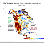
Sharp Differences in Crop Conditions In U.S./Canada
06/03/2026, 8:08 am EDT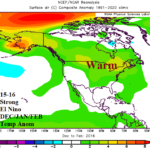
DEC/JAN/FEB During Strong El Nino for NA, EU, SA, and AU
06/05/2026, 12:46 pm EDT
Climate Impact Company ENSO Climate Diagnostics
Issued: Thursday June 4, 2026
Highlight: Westerly wind burst, strong Madden Julian oscillation, and intense negative phase southern oscillation index identify onset of an El Nino climate.
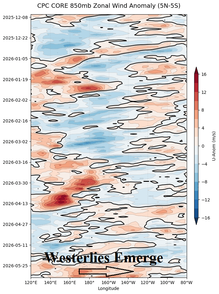
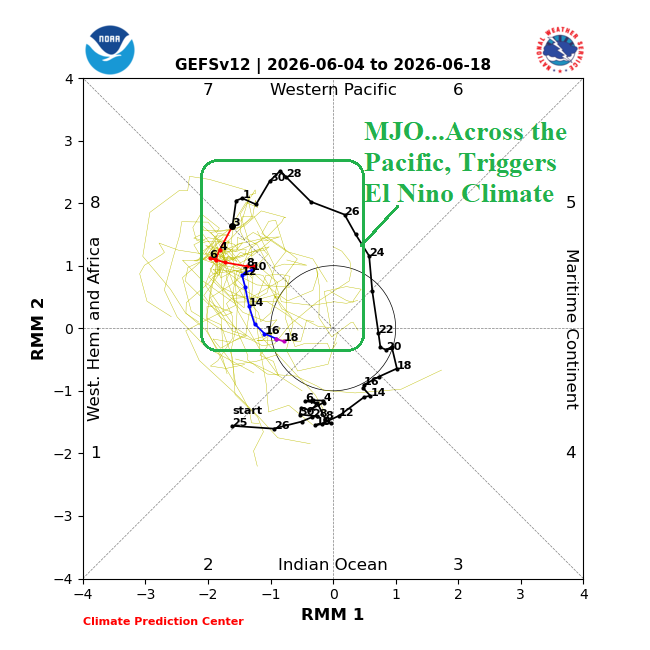
Fig. 1-2: 850 MB zonal wind anomalies (red = westerlies) in the Pacific tropics plus the NCEP 14-day Madden Julian oscillation forecast.
Discussion: A westerly wind burst has formed in the tropical Pacific Ocean stretching eastward past the Dateline (Fig. 1) in the wake of a moderate-to-strong Madden Julian oscillation (MJO) episode (Fig. 2). The MJO event has caused significant lowering of pressure in the tropical East Pacific to cause an exceptionally strong negative phase of the southern oscillation index to develop (Fig. 3). The emerging -SOI regime is an indicator that an El Nino climate has arrived and is developing rapidly. The core of the second strongest upper ocean heat signature in the equatorial East Pacific on record has shifted east and reached the northwest coast of South America (Fig. 4). Fuel to inspire a rapidly developing El Nino is robust and given the arrival of the El Nino climate should inspire significant warming of the eastern equatorial Pacific in June as El Nino onset is announced.
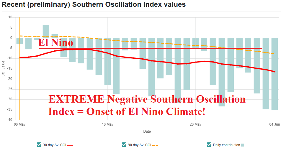
Fig. 3: The southern oscillation index has shifted into strong negative phase and identifies arrival of an El Nino climate.
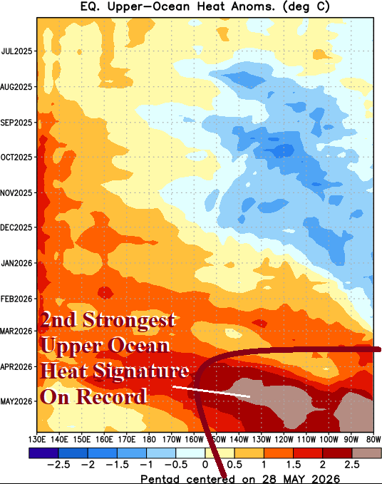
Fig. 4: The upper ocean heat core has shifted east reaching the northwest coast of South America.