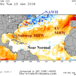
Check On North Atlantic Basin SSTA Pattern
06/24/2026, 9:06 am EDT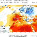
Europe Heat Fades in Medium-range (Except Southwest Europe)
06/26/2026, 9:53 am EDT
Climate Impact Company Early U.S. Notes
Issued: Thursday June 25, 2026
Highlight: Significant heat risk early July for U.S.
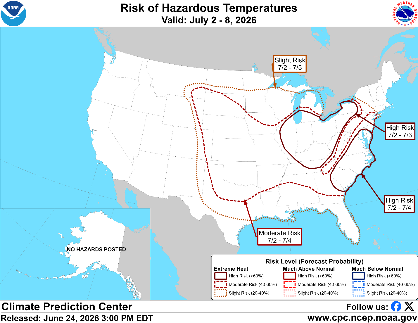
Fig. 1: NOAA/CPC excessive heat risk for early July.
Discussion: Excessive heat risk is ahead and focused on early July. NOAA/CPC indicates excessive heat risk for most of the Great Plains to the Atlantic Seaboard except for New England and the northern Plains (Fig. 1). Highest excessive heat risk is July 2-3 in the Ohio Valley and July 2-4 in the Mid-Atlantic region.
Currently, heavy rain forecasts for late week have spawned flood watch areas across Kansas to Missouri and vicinity (Fig. 2). Red Flag Warnings are widespread in the Southwest U.S. and include southeastern Washington.
The U.S. population weight CDD forecast has shifted significantly hotter (Fig. 3) for the week ending July 9th. The consensus is near 100 CDD, almost 15 CDD warmer than the 10-year normal.
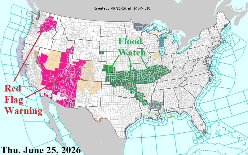
Fig. 2: NOAA/NWS weather watch, warning, and advisory areas.
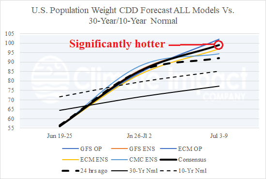
Fig. 3: The U.S. population weight CDD forecast for the U.S. utilizing all models, their consensus, and comparison with 24 hours ago and the 10-year/30-year climatology.