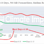
Model Skill Scores Past 30 Days Forecasting U.S. Medium-range Weather Pattern
11/04/2025, 8:33 am EST
Colder HDD Forecasts for Later November and December
11/07/2025, 5:36 am EST
Climate Impact Company Early U.S. Notes
Issued: Wednesday November 5, 2025
Highlight: High wind events!

Fig. 1: Latest NOAA/NWS weather watch, wind, and advisory areas.
Discussion: A high wind event capable of producing significant power outages is forecast for the West Coast and Northeast U.S. today as a combination of high wind warnings and advisories are issued (Fig. 1). An “atmospheric river” category 1 episode, crashes into the Northwest U.S./Northern California Coast today bringing heavy rain, heavy mountain snow, and damaging wind. The intensity of the event eases tomorrow. In the Northeast, damaging wind gusts associated with rapidly moving thunderstorms are projected from Western New York to Southern New England later today and tonight (Fig. 2). Peak wind gusts are near 50 mph this morning across the Ohio Valley (Fig. 3) increasing to 50-55 mph this evening across the central/northern Appalachian Mountains toward NYC and New Jersey (Fig. 4) and roaring past South/East New England with gusts to 65 mph possible late tonight (Fig. 5). NYC, Hartford, Boston and across Cape Cod could see significant power outages! The U.S. gas population weight HDD forecast (correctly) edges less warm in the week 4-6 outlook (Fig. 6).
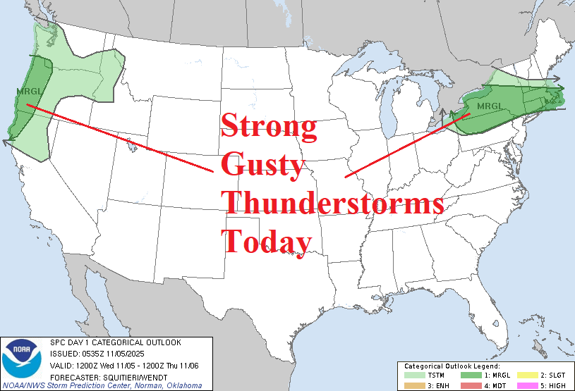
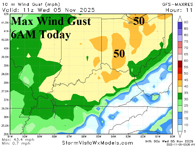
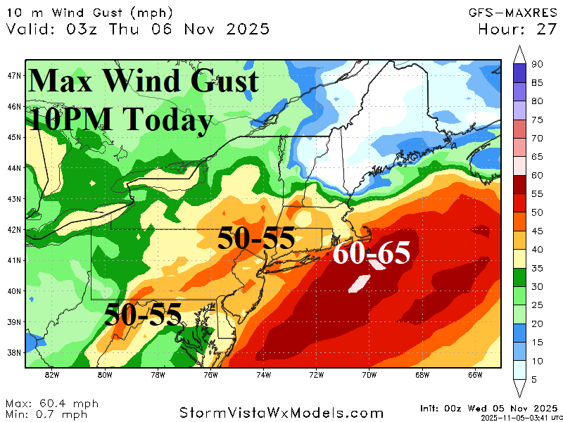

Fig. 2-5: NOAA/SPC strong thunderstorm outlook for today and GFS max wind gust profiles from the Ohio Valley to the Northeast U.S. for today/tonight.
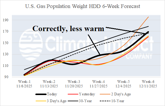
Fig. 6: U.S. 6-week gas population weight HDD forecast compared to last 3 days.