Pattern Change Eastern U.S. Later October
10/13/2025, 4:47 pm EDT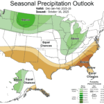
NOAA/CPC Winter 2025-26 Outlook is Edging Colder/Snowier
10/16/2025, 9:08 am EDT![]()
Climate Impact Company Daily Feature
Issued: Wednesday, October 15, 2025
Highlight: Early season above normal snow cover leads to very cold air mass in Siberia, set for release modifying into China next week.
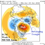
Discussion: The early season snow cover across the northern hemisphere is ahead of schedule in Mongolia, far Northeast China, and Southern Russia (Fig. 1-2). Alaska and Canada have below normal snow cover for mid-October although a recent streak of snow was observed across parts of the Canadian Prairies. As usual, early season expansive snow cover encouraged a much colder than normal air mass to evolve across Northeast Eurasia featuring 5-day temperature anomalies of 20-30F below normal (Fig. 3). The air mass is released southward into China in the 6-10-day period (Fig. 4). Ahead of the cold front, China is hot! However, although the air mass modifies with distance from snow cover, China turns much cooler next week. Threshold temperatures indicate the <0C stretches across all West and North China (Fig. 5) with the -8C line reaching far Northern China (Fig. 6).
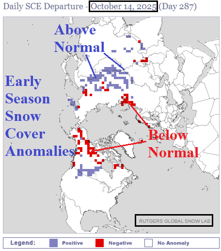
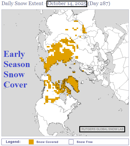
Fig. 1-2: The Rutgers University Snow Laboratory analysis of daily snow cover and anomalies across the northern hemisphere.
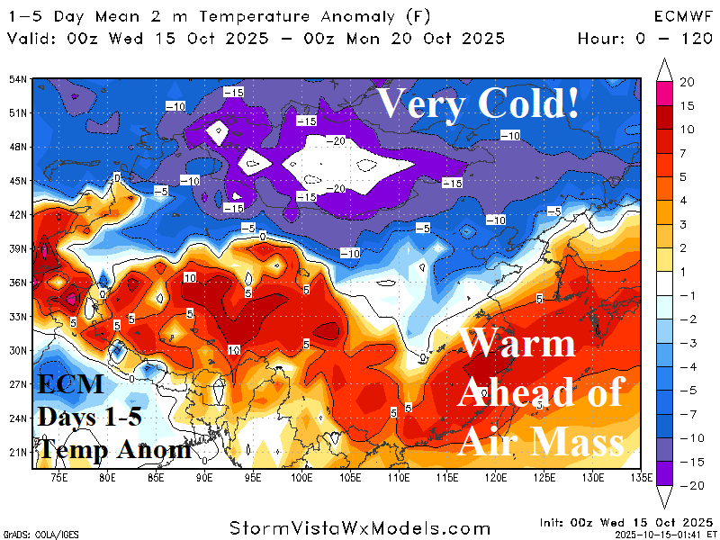
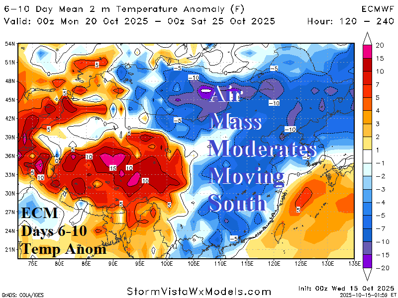
Fig. 3-4: The ECM 1-5-day and 6-10-day temperature anomaly forecast across East and South Asia.
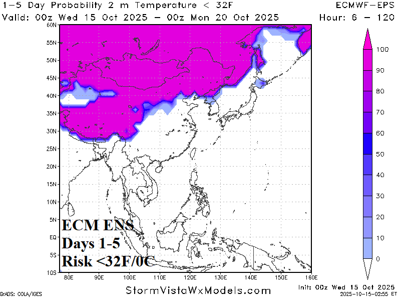
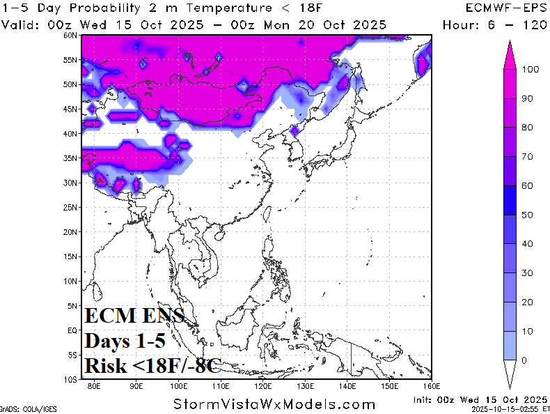
Fig. 5-6: The ECM ENS <32F/0C and 18F/-8C temperature thresholds through the next 5 days.