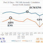
AI Models Out-performing Operational Models During Past 30 Days
09/15/2025, 1:25 pm EDT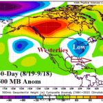
Westerly Flow Aloft Defeating Western North Atlantic Basin TC Risk
09/21/2025, 9:30 am EDT
Climate Impact Company Week 2-4 Outlook
Europe/Western Russia
Issued: Wednesday, September 17, 2025
Highlight: Wet pattern continues into early October.
Charts of the day: The heavy rainfall pattern across Europe.

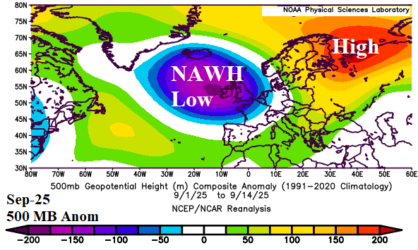
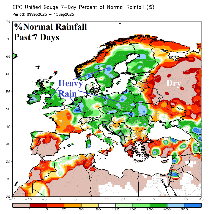
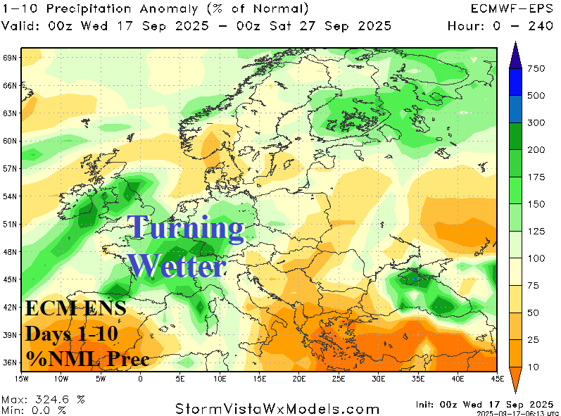
Discussion: The North Atlantic warm hole (NAWH) is exceptionally strong during summer 2025 well-correlated to a semi-permanent upper-level trough across the same area recently budging eastward toward Europe the first half of September. Proximity of the trough to Europe has spawned heavy rains for late calendar-summer. The ECM ENS 10-day rainfall forecast indicates the emphasis of the heavy rain consolidates over France and vicinity.
Week-2 Ahead Forecast valid September 28-October 5, 2025: Temperate/wet.
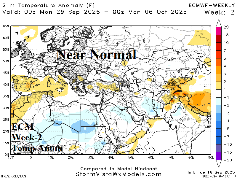
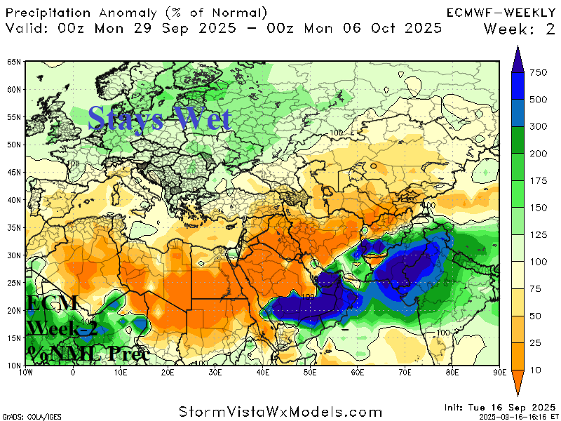
Discussion: Although operational/AI models disagree, wet persistence is favored into early October across central and northern Europe edging into Northwest Russia. Wet weather shifts into the Black Sea region.
Week-3 Ahead Forecast valid October 5-12, 2025: Slightly less wet.
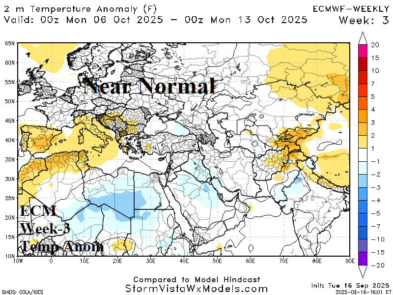
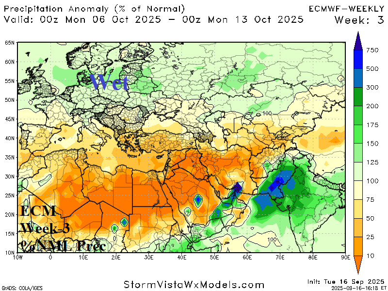
Discussion: The wet persistence begins to ease although near normal temperature (except for Spain) dominates.
Week-4 Ahead Forecast valid October 12-19, 2025: Drier South/East Europe.
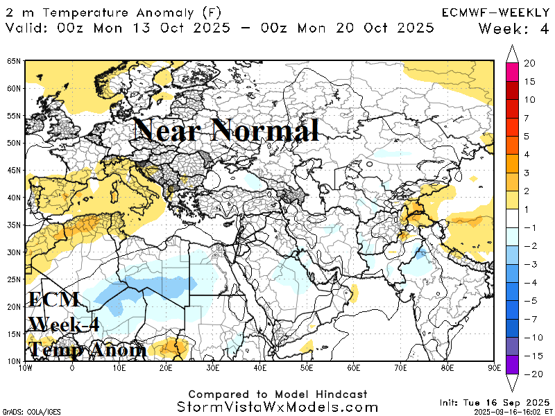
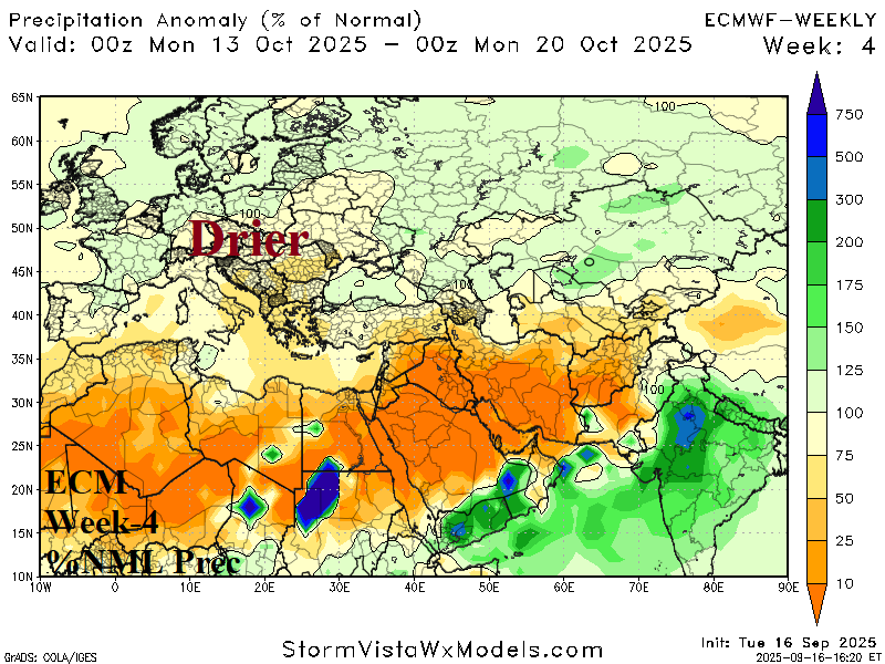
Discussion: A warming/drying high pressure ridge is possible across Southern Europe. Drier weather is indicated for Eastern Europe.
