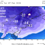
12Z GFS Coldest Day of Winter Saturday in Northeast
02/02/2026, 12:36 pm EST
High Impact Climate for MAR/APR/MAY 2026 According to ECMWF
02/05/2026, 9:52 am EST
Climate Impact Company Early AG Market ALERT
Issued: Wednesday February 4, 2026
Highlight: Northeast Argentina dryness reverses wetter mid-to-late next week, warming Nino12, and ongoing Southern Europe storm track.
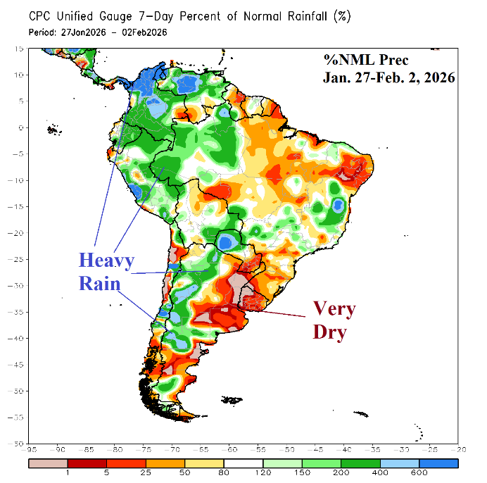
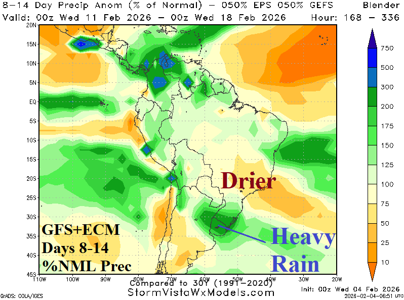

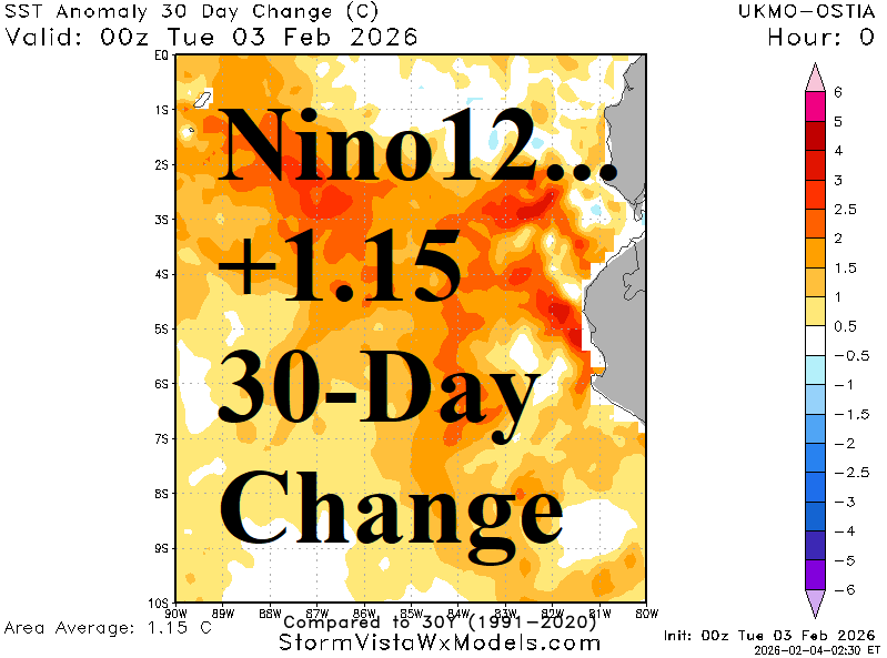
Fig. 1-4: The subsurface equatorial Pacific Ocean upper ocean heat anomalies.
Discussion: Extreme dryness (and heat) has afflicted Northeast Argentina during the past 2 weeks. The 7-day rainfall observations across South America reveal the two types of precipitation patterns across South America as February arrives: 1.) Wet western half of the continent, 2.) Dry most of the eastern half (Fig. 1). However, changes are on the way as the 8-14-day forecast equally weighting GFS and ECM shifts heavy rain across the Northeast Argentina dry zone while East Brazil turns drier (Fig. 2). The catalyst to the recent heavy rains across northwest and west continent is El Nino-like warming of the ocean surface off the northwest coast of South America. The Nino12 SSTA is now +0.58C (Fig. 3) which is 1.15C warmer than 30 days ago (Fig. 4). If the warming trend continues, support for El Nino development for Q2/2026 increases.