
Multi-variate ENSO Index Returns! Identifies Well Established La Nina Climate!
12/16/2025, 5:46 am EST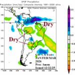
Latest Month 1-4 Outlook: Q1/2026 Marginally Dry/Hot in Brazil; Moderately Hot and Dry in Argentina
12/22/2025, 12:43 pm EST
Climate Impact Company Early U.S. Notes
Issued: Wednesday December 17, 2025
Highlight: High wind is the precursor to the “atmospheric river” pattern.

Fig. 1: NOAA/NWS weather watch, warning, and advisory areas.
Discussion: As a precursor to the developing “atmospheric river” pattern, widespread high wind covers the Northwest U.S. to North-central States for WED/THU (Fig. 1). Highest wind is downslope the Northern Continental Divide into the northwest Great Plains and across mountain areas of the Northwest States. Mountain areas will observe blizzard conditions already in effect for the Washington Cascades. In the East, the milder Pacific air stretches into the region and causes the next precipitation event for tomorrow into early weekend to turn over to mostly rain (Fig. 2). The “atmospheric river” pattern lasts much of the remainder of December. The 10-day precipitation amount forecasts indicate prohibitive mountain snow and widespread coastal heavy rain and flooding risk (Fig. 3). The mild Pacific air influence on U.S. temperature causes national heating demand to plummet and HDD forecasts remain very warm well into January (Fig. 4).
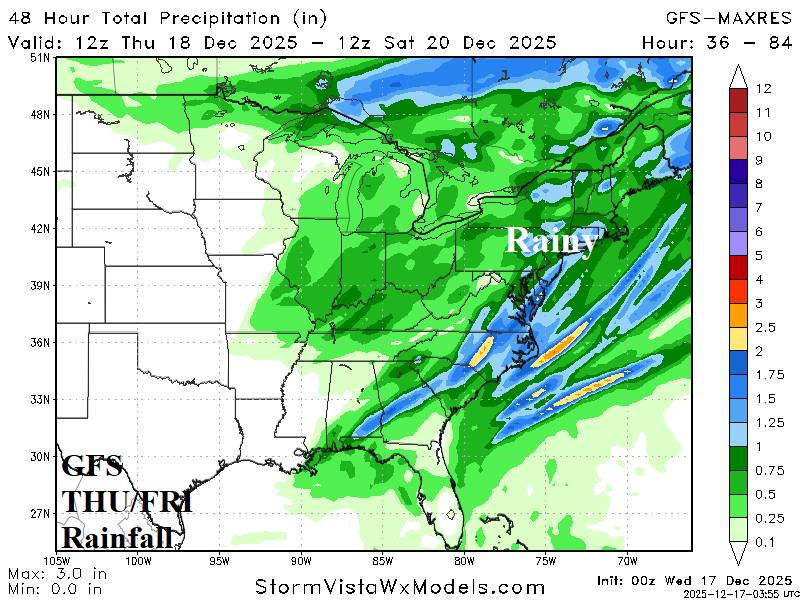

Fig. 2-3: GFS precipitation amount forecasts in the East for THU/FRI and the next 10 days across the West U.S.

Fig. 4: Using all operational models, the U.S. gas population weight HDD forecast through Jan. 1st and the CIC HDD forecast estimate combining 3 AI models and the CFS/ECM output.