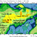
High Wind Event Great Plains to Midwest Late Week and Early Next Week
03/10/2025, 8:28 am EDT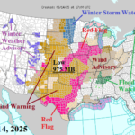
High Wind Central/East-central U.S. Plus Major Tornado Outbreak Late Today/Tonight
03/14/2025, 3:42 pm EDTCharts of the day: Recent rainfall and the MJO forecast.
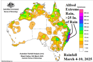
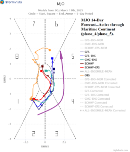
Discussion: Last week a widespread area of >400 MM (>25 in.) of rain accumulated near and either side of the coastal New South Wales/Queensland border due to the (slow) arrival of former Category-4 Major Hurricane Alfred. Going forward, the Madden Julian oscillation redevelops and shifts eastward through the tropics to the north of Argentina inspiring a wet Australian climate.
Week-2 Ahead Forecast valid March 23-29, 2025: Northern Australia rains.
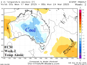
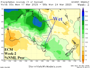
Discussion: An upper trough develops over Western Australia, inspired by an active MJO to the north. The forecast remains very wet, especially across the northern continent.
Week-3 Ahead Forecast valid March 30-April 5, 2025: Widespread wet weather.
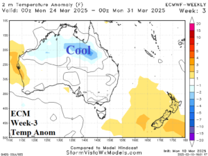
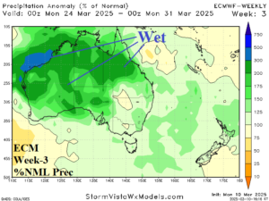
Discussion: A new upper trough develops south of Victoria. The upper trough extends northward and causes a widespread wet weather pattern across much of the continent.
Week-4 Ahead Forecast valid April 6-12, 2025: Less wet.
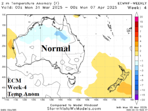
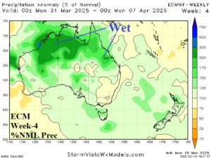
Discussion: The forecast stays wet across the northern continent. A weak upper ridge pattern turns the southern half of the continent drier.

