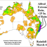
Extreme Rainfall from Alfred; New Wet Pattern Ahead Australia
03/11/2025, 10:23 am EDT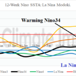
For Now, La Nina Modoki Strengthens
03/17/2025, 12:13 pm EDT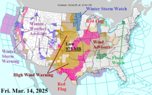
Fig. 1: The 12Z GFS 15-day northern hemisphere temperature anomaly forecast plus the U.S. medium-range outlook.
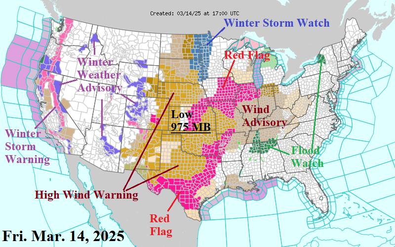
Discussion: The latest NOAA/NWS weather watch, warning, and advisory areas reveal a large area of high wind across the Great Plains extending to the Ohio and Tennessee Valley (Fig. 1). Risk of tornadoes extends from Missouri/Illinois to Mississippi for later today and tonight. The 12Z GFS is cooler across the eastern half of the U.S. and quite cold in the Upper Midwest where snow over is present in the 6-10-day period (Fig. 2). The 11-15-day forecast is warmer for the Central and East U.S. (Fig. 3)
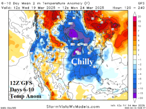
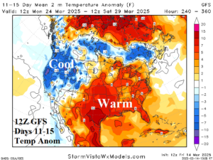
Fig. 2-3: The 12Z GFS 15-day northern hemisphere temperature anomaly forecast plus the U.S. medium-range outlook.
| EIA End | Forecast | 12-Hour Change | 24-Hour Change | 30-Year Normal | 10-Year Normal |
| 3/20 | 105.4 | +4.7 | +0.5 | 139.2 | 129.8 |
| 3/27 | 128.8 | +7.9 | +22.2 | 125.2 | 116.9 |
| 4/3 | 98.9 | -1.6 | +0.4 | 111.0 | 104.9 |
Table 1: The midday 12Z GFS U.S. gas population weight HDD projections through early April.

