News
11/03/2022, 8:01 am EDT

Extreme Rain Risk in Australia Fading; Early Season TC’s Expected

Tropical cyclone season initiated on Nov. 1 in Australia. Early season tropical cyclones are rare but expected this season due to the very warm SSTA north and northeast of the continent. Meanwhile, -IOD is expected to fade helping to lower risk of excessive rainfall events for Australia.
11/02/2022, 5:03 am EDT

Great Plains Severe Storms, Brazil Rainfall Pattern Change and New Cold Eurasia

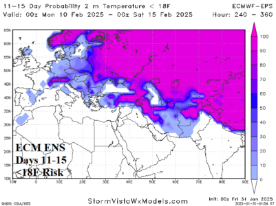
Important pattern changes are ahead including arrival of heavy rain and severe weather in the Great Plains the next few days while in Brazil the prevailing wet pattern across Southeast Brazil shifts to the northeast part of the nation. Europe remains very warm, but an evolving cold air mass centered on the Caspian Sea area will broaden in the extended-range and ease the Europe warmth and cause a cold regime to develop in the Black Sea region. In Australia, the extreme rainfall pattern has eased.
11/01/2022, 5:24 am EDT

North Atlantic Warm Hole Re-Emerging

During the past 2-4 weeks waters south and southeast of Greenland have cooled by 2-5C. Return of the semi-permanent (2013-2022) North Atlantic warm hole (NAWH) is generating. The cooler SSTA change foreshadows an evolving potent upper-level low-pressure trough south of Greenland for the first half of November.
10/25/2022, 4:26 am EDT

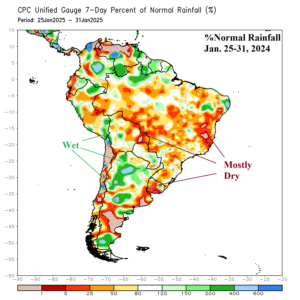
Persistent Wet Southeast Brazil Upper Trough Becomes Migratory…Wetter Northeast Brazil

Wet to very wet climate has dominated southwest and interior southeast Brazil during the past 90 days. The culprit has been a semi-permanent (wet) upper-level low-pressure trough over Southeast Brazil. In Novmber, the trough becomes more migratory and forces the wetter climate into Northeast Brazil while Southern Brazil and Argentina have a tendency for drier than normal climate.