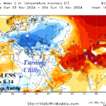
Much Cooler Europe early November Thanks to Negative Scandinavia Index Regime
10/27/2024, 7:06 am EDT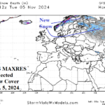
Lack of Snow Cover Northwest Eurasia About to Change
10/29/2024, 5:49 am EDT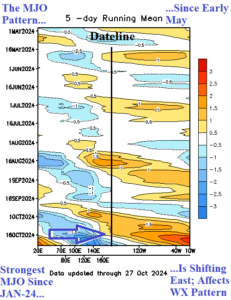
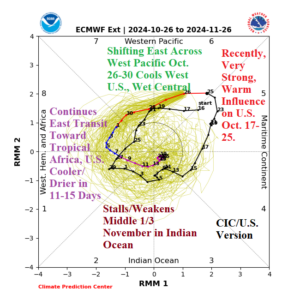
Fig. 1-2: Outgoing longwave radiation anomalies identifying the convection and subsidence phase of the Madden Julian oscillation (since May) and the 30-day forecast from ECMWF and annotated U.S. effects.
Discussion: The strongest transient convection phase of the Madden Julian oscillation (MJO) since January 2024 (Fig. 1) is forecast to shift east of the Dateline to close October (Fig. 2). Short-term effects of MJO are in the tropics including intensifying Tropical Cyclone Kong-Rey forecast to become a category-4 major typhoon heading for Taiwan. Another tropical system, Tropical Disturbance 91E in the East Pacific will strengthen to a tropical storm. As MJO shifts eastward to finish October, the West U.S. cools and the Great Plains gain much needed rainfall. Through the first third of November as MJO shifts through the equatorial Atlantic to tropical Africa a wet pattern in the U.S. should ease and the East turn cooler in the extended range. The transient MJO (Fig. 3) brings high impact weather elsewhere including a hot regime through early November in Australia (Fig. 4) and more rain for Brazil (Fig. 5). Normally, a MJO shift through the eastern half of the equatorial Pacific weakens any La Nina development.
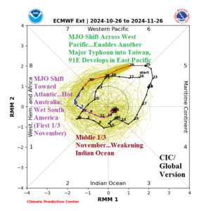
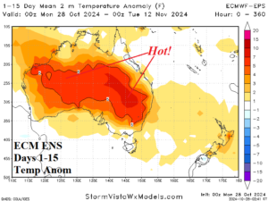
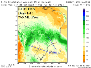
Fig. 3-5: The Madden Julian oscillation 30-day forecast from ECMWF and examples of global influences (on Australia and Brazil).

