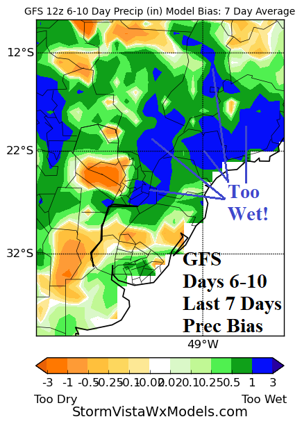
Climate Forecasts Project Potential Significant Drought Risk Canadian Prairies to Midwest U.S. Next Warm Season
12/19/2024, 6:45 am EST
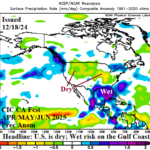
La Nina Has Generated; Intensifying Rapidly!
12/26/2024, 4:18 am EST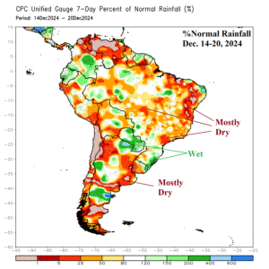
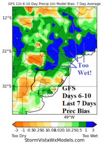
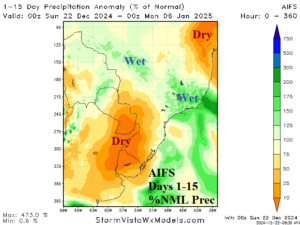
Fig. 1-3: The 7-day percent of normal rainfall across South America, the 7-day rainfall forecast bias, and 15-day rainfall anomaly forecast.
Discussion: The percent of normal rainfall observations for the past week across South America reveal a reluctance for heavy rain centered on Paraguay to Coastal Southeast Brazil to shift northward as forecast last week (Fig. 1). In fact, the GFS joins the ECM during the past week producing 1-3 inch too wet rainfall forecast bias (Fig. 2). Meanwhile., Northeast Argentina is drying and Climate Impact Company projects resurging drought in that region during summer 2024-25. Reliance on AIFS increases for 15-day rainfall projections as machine learning understands the wet dynamic model forecast bias. AIFS has a focused wet weather zone across South-central to East-central Brazil during the next 15 days while the dryness in Northeast Argentina grows stronger (Fig. 3).
The Madden Julian oscillation (MJO) is shifting eastward across the equatorial Pacific. Consequently, the wet influence of MJO on Australia eases. The 7-day forecast is very dry across the continent except for thundershowers on the Northwest Coast (Fig. 4). However, in the 8-14-day period, new rain appears in Queensland while the remainder of the continent is dry (Fig. 5).
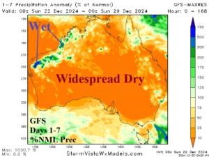

Fig. 4-5: The GFS 14-day percent of normal rainfall forecast for Australia.

