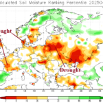
Checking Primary Global Drought Areas
04/28/2025, 5:50 am EDT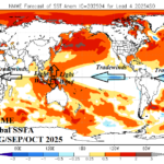
Is -IOD Potential for Q3/2025 Dependent on ENSO Flipping Back Toward La Nina?
04/29/2025, 4:39 pm EDT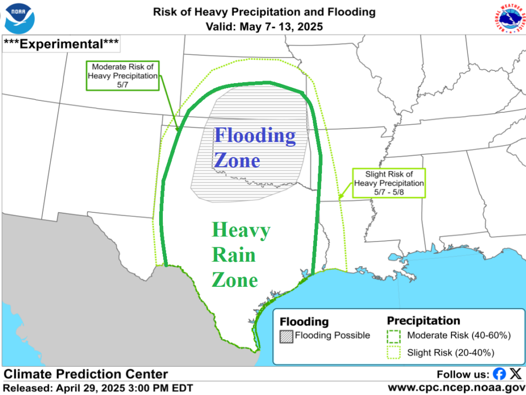
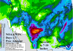
Fig. 1: The NOAA/WPC 7-day rainfall amount forecast. Most of the southern Great Plains rain occurs in the next 1-2 days.
Discussion: An extreme rainfall event is ongoing across Western Texas, Oklahoma, and into the Missouri Valley. Many flood warnings are issued. Severe thunderstorms stretch northeastward this afternoon through the southern and eastern Ohio Valley reaching western New York State. The heavy rain event centered on the Texas/Oklahoma border will continue as a frontal system stalls. Excessive rain causing widespread river flooding and damage to structures plus travel hazards and possible power outages with crop damage lasts 24-48 hours and features additional severe storms tomorrow possibly featuring tornadoes. Up to 10 in. of additional rain occurs on the Texas/Oklahoma border during this event (Fig. 1). Another batch of extreme rain is possible next week. NOAA/CPC has issued an ALERT for excessive rainfall aggravating ongoing river flooding with attendant travel hazards, power outages, and crop damage (Fig. 2).

Fig. 2: NOAA/CPC ALERT for another round of heavy rain reigniting flooding in the southern Great Plains to Texas next week.