La Nina Has Generated; Intensifying Rapidly!
12/26/2024, 4:18 am ESTJanuary 2025 Adjusted Colder in the East U.S.
12/30/2024, 4:28 am ESTChart of the day: Cold weather slams U.S. & Europe in January.
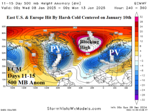
Discussion: An amplified blocking high pressure system over Greenland centered on January 10th creates a “polar vortex” regime in Ontario and the Baltic region creating cold weather, widening snow cover, and high heating demand for the high population areas of both the East U.S. and Europe.
Week-2 Ahead Forecast valid January 5-11, 2025: Colder/snowier trend.
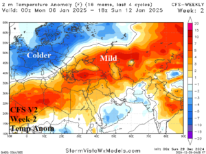
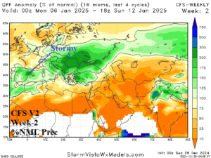

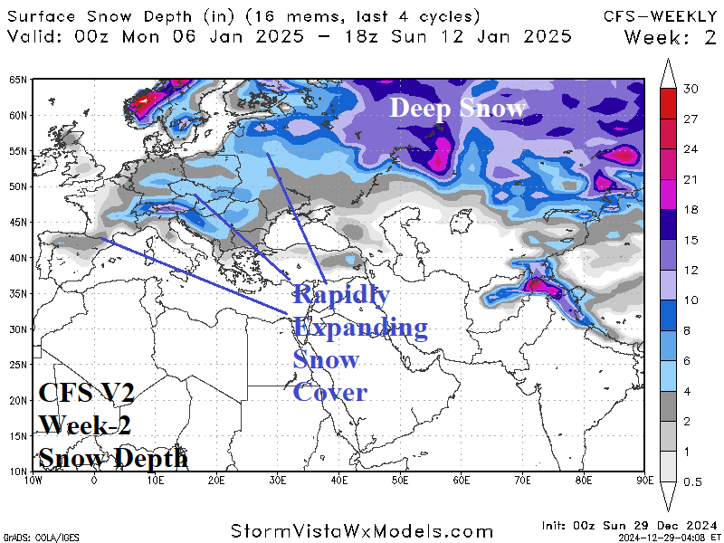
Discussion: Upper trough settles on Western Europe. A colder pattern develops across most of Europe. The storm track stretches from Spain to Southeast Europe and Southwest Russia. As cold air increases, the storm track begins to produce snowfall. The snow cover will expand across much of Europe enhancing the incoming cold.
Week-3 Ahead Forecast valid January 12-18, 2025: Cold and snow locked-in.
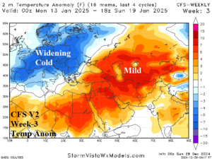
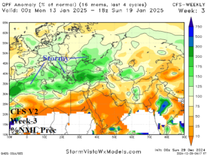
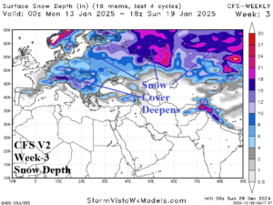
Discussion: Upper trough cuts off over Europe helped by the effect of widening/deepening snow cover. Cold weather is expansive across Europe and into Western Russia.
Week-4 Ahead Forecast valid January 19-25, 2025: Lingering Europe chill.
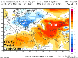

Discussion: Snow cover prevents the pattern from warming across Europe although less precipitation as the storm track shifts farther south.

