The Ongoing Heavy Snow and Ice Storm for Central and East U.S.
01/05/2025, 3:52 pm EST
More Cold Ahead in U.S. During January but HDD Forecasts Are Warm Into February
01/07/2025, 8:34 am EST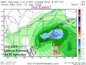
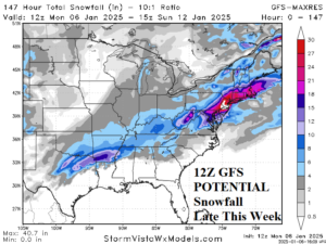
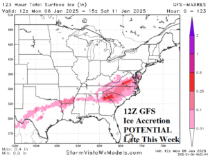
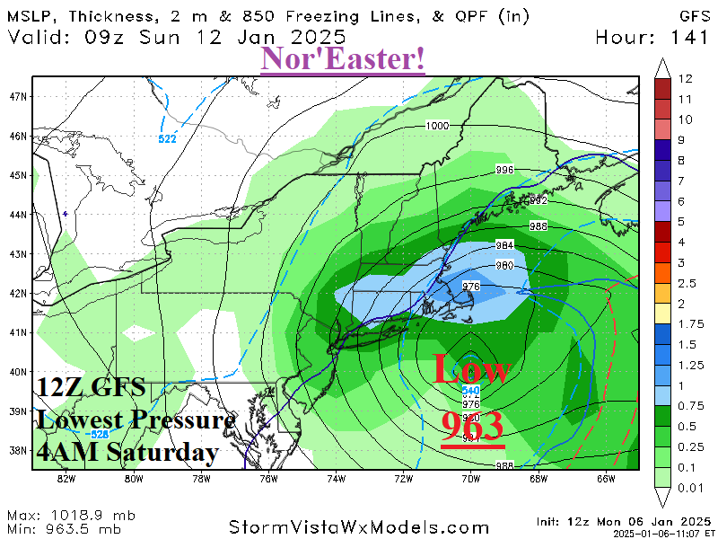
Fig. 1-3: The 12Z GFS lowest pressure forecast for a potential Nor’Easter early next weekend and the attendant snow and ice amount risk.
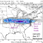
Discussion: The 12Z GFS projects an evolving storm later this week in the northwest Gulf of Mexico region to travel northeastward and intensify south and southeast of New England by Saturday morning. At that time, the 12Z GFS forecasts a 963 MB low pressure area (Fig. 1). A storm of this magnitude would produce a large area of heavy snow, ice, and rain from the Mid-south to the Northeast Corridor. A major snowstorm occurs Washington, DC to Boston with significant ice in the Carolinas and Virginia (Fig. 2-3). The GFS can express itself with wild and changeable forecast solution. However, given a strong blocking pattern, a Northeast U.S. snowstorm is normally expected. Also, this forecast is not in the low confidence 11-15-day period rather just a few days away. The 12Z GFS trends colder in the medium range (Fig. 4-5).
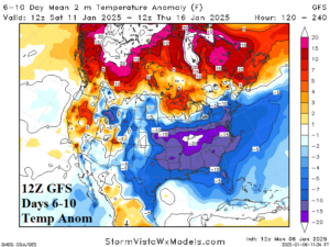
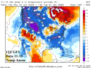
Fig. 4-5: The 12Z GFS midday medium range temperature anomaly forecast.
| HDD EIA End Date | Forecast | 12-Hour Change | 24-Hour Change | 30-Year Normal | 10-Year Normal |
| 1/9 | 238.0 | -0.5 | -0.5 | 208.4 | 199.6 |
| 1/16 | 244.7 | -0.1 | +12.0 | 211.4 | 204.4 |
| 1/23 | 231.4 | +12.3 | +1.2 | 212.6 | 206.7 |
Table 1: The 12Z GFS U.S. gas population weight HDD forecast compared to 12 and 24 hours ago.

