GFS, ECM, and AIFS Opinions on a Gulf Tropical Cyclone
09/22/2024, 8:39 am EDTPTC Nine Becomes Named Storm Tonight; HWRF Indicates NE Gulf Category-4 Major Hurricane
09/24/2024, 6:05 am EDTCharts of the day: The Gulf of Mexico sea surface temperatures and anomalies.
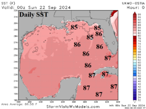
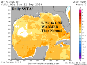
Discussion: During recent years, the (certain) catalyst to a category-4/category-5 major hurricane has been travel of the tropical cyclone across 31C/87F (or warmer) SST. Right now, the SST for the most likely path of Helene is 30C/86F certainly sufficient to fuel a category-3 major hurricane. The SST across the northeast Gulf of Mexico is a scary 0.75C to 1.75C warmer than normal. Medium-range 6-10 Day Forecast Valid September 28-October 1, 2024 (24-hour change)
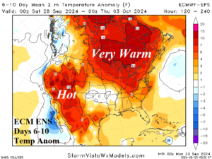
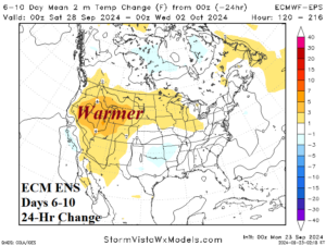
Discussion: Entrainment of Helene by an upper trough over Arkansas causes heavy rain centered on the Mid-Atlantic region and an immense latent heat release from the attendant convective rains causing anomalous warmth north of the storm. An upper ridge brings hot weather to the Southwest U.S.
Medium-range 11-15 Day Forecast Valid October 2-6, 2024 (24-hour change)
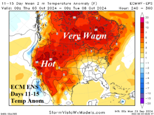
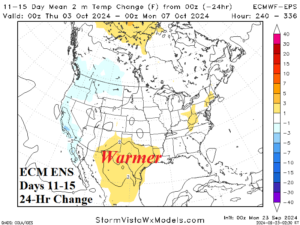
Discussion: A broad trough lingers over the Southeast U.S. while the upper ridge rests across the Continental Divide. The sensible weather result is widespread anomalous warmth except near normal temperature in the Southeast U.S. The GFS and AIFS are stronger with the upper trough in the Southeast States therefore much cooler.
U.S. Medium-range Precipitation Forecast
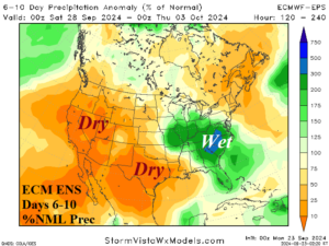
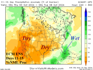
Discussion: Heavy rains are forecast in the Mid-Atlantic region to the Ohio Valley with flooding likely in the 6-10-day period. Lingering East Coast rains in the 11-15-day period otherwise most of the U.S. is dry.
Days 16-20 Extended range Temperature Forecast valid October 7-11, 2024
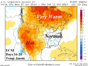
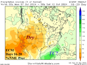
Discussion: The upper ridge keeps the West warm in the 16-20-day period while the East is temperate.
