Madden Julian Oscillation Reactivates; Suppresses North Atlantic Tropics
08/19/2024, 8:45 am EDTExplaining The U.S. Summertime Warm Bias in U.S. Medium-range Forecasts
08/25/2024, 11:48 am EDT
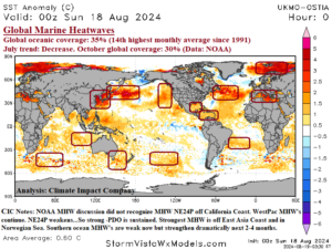
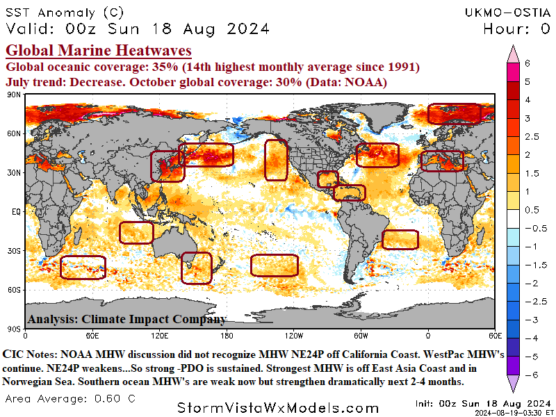
Fig. 1: Daily global SSTA analysis and marine heat wave locations.
Discussion: The end of July 2024 global marine heatwave assessment from NOAA indicated that 35% of the oceans are in marine heat wave status. The monthly observation ranks 14th highest in the nearly 400 months of observations dating back to 1991. NOAA indicates MHW coverage of 35% now will decrease to about 30% by October 2024. This prediction is somewhat related to the development of La Nina, according to NOAA. MHW’s continue to cause strong climate influences, particularly in the northern hemisphere as MHW intensity is accelerated by summertime heat. Although NOAA was slow to recognize NEP24A off the West Coast of North America the forecast for this MHW is weakening toward the end of 2024 while intense MHW’s off the East Coast of Asia continue. These observations and forecasts will maintain what is becoming the longest duration and intensity of cool phase Pacific decadal oscillation (-PDO) present most for most of this decade and likely to continue into 2025. Usually, -PDO is present with cold ENSO. MHW’s in the Gulf of Mexico and Caribbean Sea increase the risk of stronger than normal tropical cyclones in September/October. Intense MHW’s southeast of Newfoundland, the Mediterranean Sea, and Norwegian Sea cause increased risk of dry/hot late summer high pressure ridge areas near and downwind the warm SSTA regions but also imply buoyant low atmospheric moisture for any passing storms to unload excessive precipitation. MHW’s amplify the climate change signal of long duration regimes (such as drought) with brief interruptions of the opposite extreme (flooding rains). Southern hemisphere MHW’s have lost intensity due to the winter season but are forecast to regain significant intensity once the warm season arrives.

