Adding Cold Risk to Midwest U.S. (with Rainy Periods) Hindering Crop Planting
03/30/2025, 11:55 am EDT
Cold Burst, After Heavy Rain, Midwest/Northeast U.S. Next Week
04/02/2025, 8:46 am EDT 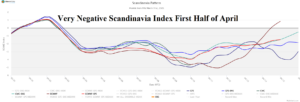
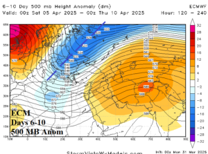
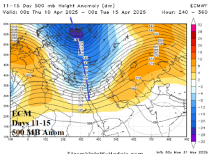
Fig. 1-3: The strong negative Scandinavia index forecast and attendant evolution of a strong upper trough over Northern Europe.
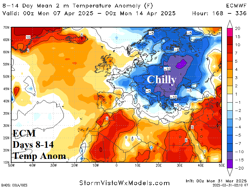
Discussion: Wet weather shifts into the Black Sea region this week due to an approaching upper trough to the region. In the medium range the pattern changes although continuing to support wet weather. The Scandinavia Index shifts to (very) negative (Fig. 1), supporting evolution of a deep upper trough beginning in the 6-10-day period (Fig. 2) and strengthening in the 11-15-day period (Fig. 3). The upper trough will maintain patchy wet weather in the Black Sea region into mid-April (Fig. 4-5). Additionally, expect unseasonably chilly air to emerge in the 8-14-day period with coolest anomalies across East Europe and West Russia (Fig. 6). Threshold temperatures include <32F across much of central and east portions of Europe and west sections of Russia in the 6-10-day period (Fig. 7).
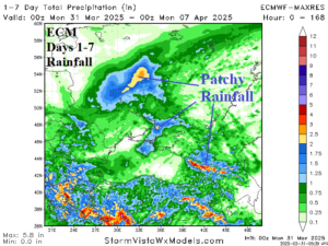
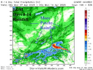
Fig. 4-5: Patchy wet weather arrives for the first half of April in the Black Sea region.
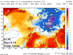
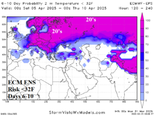
Fig. 6-7: The ECM 8-14-day period is unusually chilly and features widespread <32F risk.

