Rafael Runs into Strong Upper Shear Before Reaching Gulf Coast
11/05/2024, 6:05 am EST
El Nino Risk Appears in 2025 ENSO Forecast
11/07/2024, 7:39 pm EST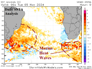
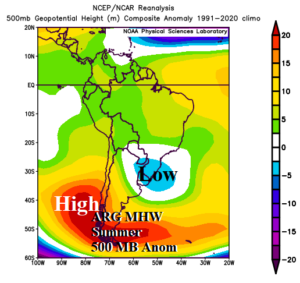
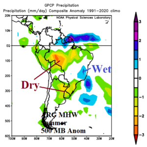
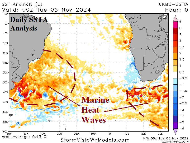
Fig. 1-3: An emerging and intensifying marine heatwave off the East Coast of South America, analog years of this phenomenon upper air pattern during summer and the attendant rainfall anomalies.
Discussion: A marine heat wave (MHW) is strengthening off the East Coast of South America (Fig. 1). A second MHW is strengthening south of Africa. The 30-day changes for each warm water zone are impressive and imply each feature is likely to last through meteorological summer with influence on the upper air pattern.
The MHW has tendency to gravitate toward the Argentina Coast and waters to the east when this feature is present during recent years. NOV/DEC’s when the Argentina MHW was present include 2022, 2021, 2020, 2019, and 2014. The strongest MHW was observed in 2022. There is a tendency for La Nina’s presence during recent (analog) years.
The upper air pattern for the analog years during meteorological summer produces an attendant amplified upper ridge across the MHW extending westward into the South Pacific off the Chile Coast (Fig. 2). To compensate for the ridge, a persistent upper trough forms on the southeast coast of Brazil. In this upper air pattern, the subsidence on the back side of the low-pressure area leads to a dry climate across West/Central Brazil and North/Northeast Argentina (Fig. 3).
Yesterday’s ECMWF “monthlies” identify the upper trough pattern centered close to the southeast coast of Brazil (Fig. 4). The ECMWF (also) projects a weak trough on the West Brazil border. Consequently, ECMWF agrees with the proposed analog on dryness evolving in Northeast Argentina while Western Brazil is wet (Fig. 5). ECMWF indicates strong dryness in Northeast Brazil due to the influence of the subtropical high-pressure system.
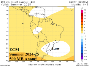
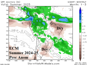
Fig. 4-5: The ECMWF “monthlies” updated yesterday project an upper low off the Southeast Coast of Brazil for meteorological summer and the correlating rainfall anomalies.

