Regional SSTA Patterns Bring Surprising Climate Regimes
12/16/2024, 4:43 am EST
Cold Snap Next Few Days East U.S., Another One Second Week of January
12/20/2024, 10:58 am ESTHighlight: Prohibitive warmth for the Holiday Season!
Charts of the day: Does the “hot” pattern in the medium range cool off in early January?

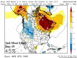
Discussion: The mega-cluster ensemble, combining ECM and GFS, projects “most likely” temperature anomaly scenarios for early January cooling off the U.S. to near normal while Canada stays warm. The most likely candidate for colder than normal temperatures is the Interior West and possibly Western Canada.
Medium-range 6-10 Day Forecast Valid December 24-28, 2024 (24-hour change)
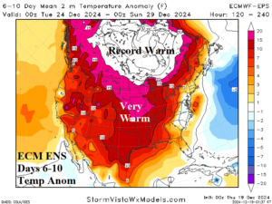
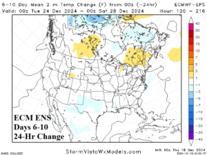
Discussion: The outlook remains prohibitively warm to close December. The forecast is consistent with yesterday’s outlook. Chilly weather on the East Coast early in the period rapidly decays.
Medium-range 11-15 Day Forecast Valid December 29, 2024-January 2, 2025 (24-hour change)
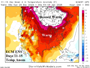
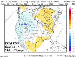
Discussion: Early January remains very warm with records possible across the Northern U.S. and Canada. The West U.S. is starting to cool.
U.S. Medium-range Precipitation Forecast
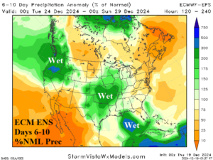
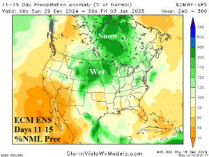
Discussion: An atmospheric river pattern propelled by a strong Aleutian low pressure system continues in the 6-10-day period. Wet weather pulses across the Mid-south States. In the 11-15-day period, the West Coast turns drier while the North-central U.S. turns rainy with storm systems likely ending as snow.
Days 16-20 Extended range Temperature Forecast valid January 3-7, 2025
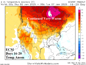
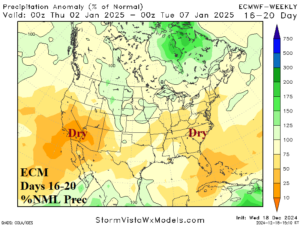
Discussion: The U.S. pattern is cooling although Canada and the Northern U.S. stay warm.

