Warm Atlantic Multidecadal Oscillation Responsible for Warm Europe Winters of Late
11/07/2024, 8:41 am EST
U.S. Winter Outlook Emphasizes Cold Risk West; Warm East as Strong -PDO/+AMO Fuel Pattern
11/15/2024, 11:34 am EST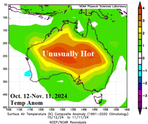
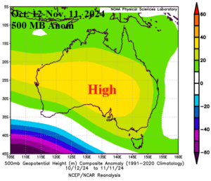
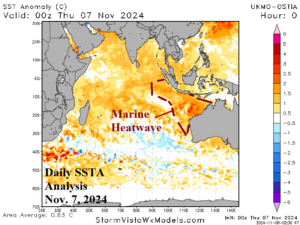
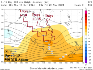
Fig. 1-4: Temperature and 500 MB height anomalies across Australia for Oct. 12-Nov. 11, 2024 (above) and the daily Indian Ocean SSTA analysis valid Nov. 7, 2024, plus the GFS 15-day 500 MB height anomaly forecast (below).
Discussion: During the 30-day period of Oct. 12-Nov. 11, 2024, an unusually hot climate spread across most of Australia featuring widespread 30-day departures from normal of +2C to +5C (Fig. 1). The anomalous heat is driven by a titanic upper-level high-pressure ridge centered on central continent (Fig. 2). The catalyst to the upper ridge, in-part, is due to warming influence on the middle troposphere by the presence of an emerging large and strong marine heatwave (MHW) off the northwest coast of Australia (Fig. 3). Latest 15-day 500 MB anomaly forecasts indicate the upper ridge shifts eastward generally most amplified over eastern continent (Fig. 4). The eastward shift of the ridge will push the attendant hot weather into Southeast Australia, most extreme in New South Wales during the second half of November (Fig. 5). The compensating upper trough on the Australia West Coast will entrain above normal low atmospheric moisture, associated with the MHW, to bring heavy rain to Western Australia evolving over the next 1-2 weeks (Fig. 6). Beneath the high-pressure dome over the southeast continent, mostly dry weather occurs with the excessive heat.
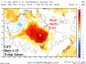
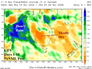
Fig. 5-6: The GFS 15-day temperature anomaly and percent of normal rainfall forecast across Australia.

