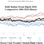
A Sudden Spike in Negative Phase of the Indian Ocean Dipole
10/24/2024, 8:21 am EDT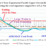
Forecasting ENSO Phase is Extremely Difficult
11/01/2024, 8:30 am EDTCharts of the day: Weekly rainfall and daily soil moisture and explanation of Brazil sudden rains.
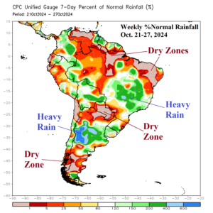
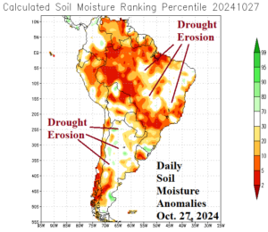
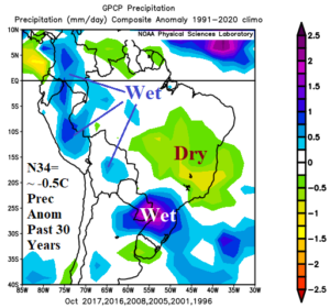
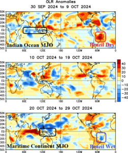
Discussion: Prohibitive rainfall was observed during Oct. 21-27 across East-central Brazil and North-central Argentina while lack of rain was notable in Paraguay and much of northern continent (Fig. 1). Daily soil moisture anomalies identify erosion of previously long-term drought across East-central Brazil and much of Argentina (Fig. 2). The Nino34 SSTA is borderline La Nina (-0.5C). During October, with similar Nino34 conditions (2017, 2016, 2008, 2005, 2001, and 1996) during the past 30 years, South America rainfall climate is typically almost opposite of OCT-24 with dryness across East Brazil and heavy rain in Paraguay/Southeast Brazil (Fig. 3). The catalyst to the OCT-24 rainfall pattern is an eastward shift of the Madden Julian oscillation from the equatorial Indian Ocean across Maritime Continent (Fig. 4) which caused a dry-to-wet flip in the weather pattern across Brazil during the past 7-10 days.
Week-2 Valid November 3-9, 2024: MJO supports wet pattern.
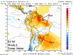
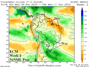
Discussion: Wet MJO influence continues next week. The forecast trend is wetter in South-central Brazil and Northeast Argentina/Uruguay.
Week-3 Valid November 10-16, 2024: Lingering Brazil rains; Argentina is drier/hotter.
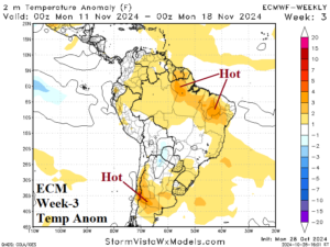
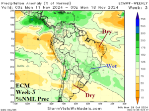
Discussion: Wet MJO influence fades. Residual rainfall continues across Eastern Brazil, wetter than the previous outlook. Argentina is hotter and drier.
Week-4 Valid November 17-23, 2024: Drier pattern.
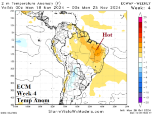
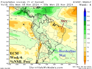
Discussion: Southeast Brazil is borderline wet otherwise the pattern turns much drier.

