GFS Maintains Early November Tropical Cyclone for Florida/U.S. East Coast
10/24/2024, 9:31 am EDT
Much Cooler Europe early November Thanks to Negative Scandinavia Index Regime
10/27/2024, 7:06 am EDT 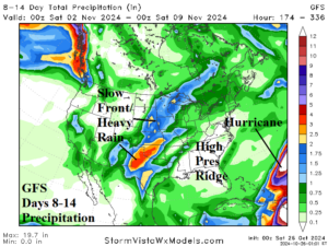
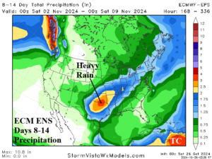
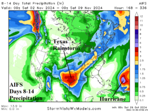
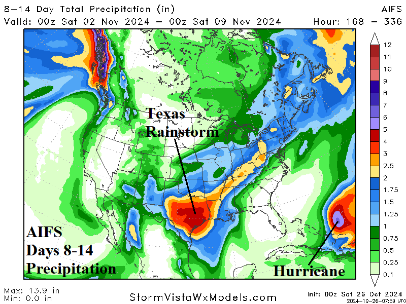
Fig. 1-3: The 8-14-day precipitation forecasts for the U.S. using GFS, ECM ENS, and AIFS.
Discussion: During the past week, most of the GFS operational model runs have featured a significant tropical cyclone developing in the Northern Caribbean Sea later next week, crossing the Northern Caribbean Islands, and veering northwest and west toward Florida or through the northeast Gulf of Mexico. A few GFS model runs took the storm northward after striking Florida to wreak havoc on the U.S. East Coast close to Election Day. Other models respected seasonality, the tendency for too much westerly flow aloft to allow a tropical cyclone to approach the U.S., keeping the significant tropical cyclone out-to-sea. We now have agreement between the GFS, ECM ENS, and AIFS forecasts each indicating a significant tropical cyclone affecting the Northern Caribbean Islands followed by a north to northeast turn and out-to-sea (Fig. 1-3). The forecast change creates another problem. Amplified high pressure created in-part by the latent heat release of the tropical system emerges across the Southeast U.S. The ridge pattern slows a Central U.S. cold front and moist southerly flow out of the western Gulf of Mexico interacts with the frontal zone to produce a heavy rainstorm. The forecast trend of the heavy rainstorm location is shifting south most likely to occur across Texas and the southern Great Plains centered on Nov. 2-4.

