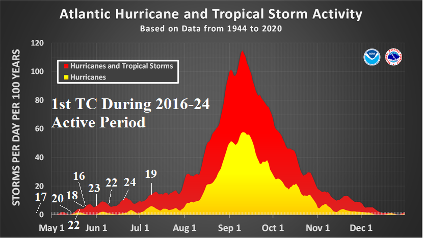
Climate Impact Company Year-2 Outlook North America Issued: Monday, June 16, 2024 Highlight: Seasonal optimum climate normal. Knowing the ocean warming inspired climate bias. Executive Summary: Any climate forecast should begin with an optimum climate normal (OCN). Climate Impact Company uses a 10-year OCN and recently a 5-year OCN for the Europe/Western Russia climate forecast. OCN is used to recognize the influence on climate by the warming oceans which have accelerated during the past decade (Fig. 1). Other factors supporting the use of OCN’s are the constricting polar ice cap, and evolution of warm holes in the general warming of the mid-latitude ocean surface, most notably in the North Atlantic south of Greenland. Of course, the OCN climate bias can be altered sharply depending on whether a strong ENSO event is in place or regional warming (cooling) of mid-latitude oceans is present. Provided are the 10-year OCN climate bias for meteorological spring, summer, autumn, and winter for the U.S. placed in the 2-year ahead climate outlook section on your client web page. ENSO is neutral and the outlook for 2026 and into 2027 is uncertain. Consequently, as a first guess of what to expect in the year and 2-year ahead climate patterns, the OCN is useful for preliminary planning purposes. Fig. 1: The global ocean surface is warming with an accelerated rate during the past decade. MAR/APR/MAY: The 10-year U.S. climate bias due to warming of the mid-latitude oceans is a warmer climate pattern especially in the East/Southeast U.S. The influence of North Atlantic warming on U.S. climate during the past 10 years is stronger than the Pacific influence. Susceptibility to chilly weather is confined to the northwest Great Plains and Northern Rocky Mountains. The precipitation bias includes a dry Northwest and wet Mid-south U.S. dipole. The MAM-25 climate was warmer (nationally) and wetter (eastern half of U.S.) than OCN. Fig. 2-3: The 10-year optimum climate normal temperature and precipitation anomalies for MAR/APR/MAY. JUN/JUL/AUG: Meteorological summer OCN favors anomalous heat West and Southwest U.S. plus the Gulf States and Northeast U.S. Corridor. The least hot bias is in the vicinity of the Missouri Valley. Many climate forecasts contain a similar theme for the summer 2025 forecast. The precipitation tendency is wetter than normal inspired in-part by busy tropical cyclone seasons across the eastern 40% of the U.S. while the western half of the U.S. is dry. A common agricultural commodities trading issue is handling the wet to dry soil conditions the attendant climate pattern generates through the heart of the U.S. AG Belt. Fig. 4-5: The 10-year optimum climate normal temperature and precipitation anomalies for JUN/JUL/AUG. SEP/OCT/NOV: Meteorological autumn has a tendency for anomalous warmth across the entire U.S. with warmest anomalies in the central Great Plains. The precipitation bias reverses much drier in the Mid-south and Northeast U.S. Fig. 6-7: The 10-year optimum climate normal temperature and precipitation anomalies for SEP/OCT/NOV. DEC/JAN/FEB: The 10-year OCN has a strong warm bias on the East U.S. including a wet signature centered on the Tennessee Valley. The OCN appears to be an enhanced La Nina climate bias. Cold risk is across the Northern Rockies and vicinity. Fig. 8-9: The 10-year optimum climate normal temperature and precipitation anomalies for DEC/JAN/FEB.


