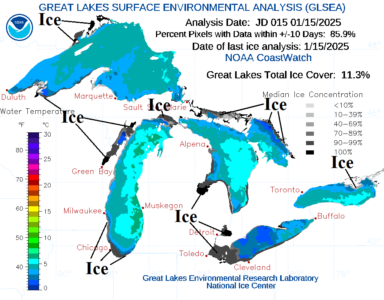
Great Lakes ice is emerging and should spread rapidly given the long duration cold pattern ahead. Open water moderates arctic air. However, once ice is sufficiently expansive the moderating effects cease.
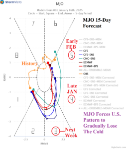
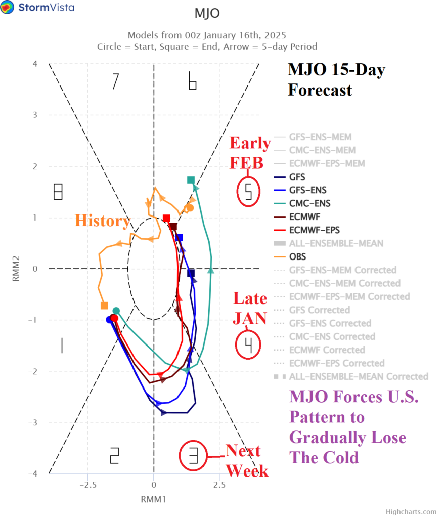
The MJO shift through the eastern Indian Ocean tropics to north of Australia and West Pacific tropics is indicated by the MJO 115-day forecast phase_3, phase_4, and phase_5. When MJO enters the phases listed during mid-winter a milder Pacific maritime influence is generated on U.S. climate.
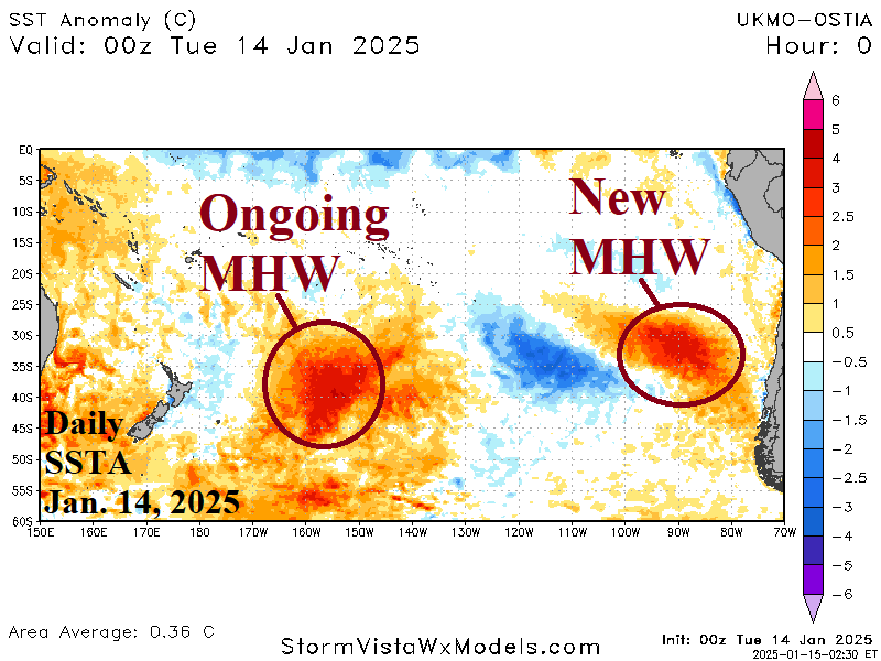
West of Chile a new and potent marine heatwave (MHW) has formed. The northeastern South Pacific MHW is intensifying rapidly. A long-standing MHW in the Caribbean Sea remains impressive. Aloft, each MHW has an influence on the upper air pattern. The new MHW off the Chilean Coast is well-correlated to an amplified high-pressure area forecast by AIFS through the next 15 days. High pressure also rests over the warm Caribbean Sea.
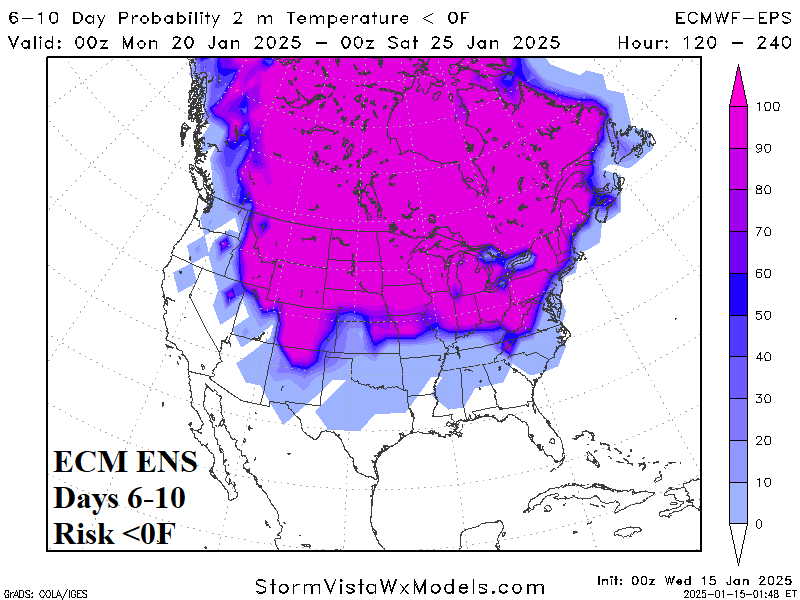
High focus on ERCOT (and everywhere else) for next week’s arctic outbreak. In Texas, the outbreak lasts January 19-24 and peaks on January 21. Texas will add snow and ice storm concern during that time. Note the ECM ENS 6-10-day forecast of <0F risk!

